Transport Functions
Road
Multimodal
Hub Profile
Place type
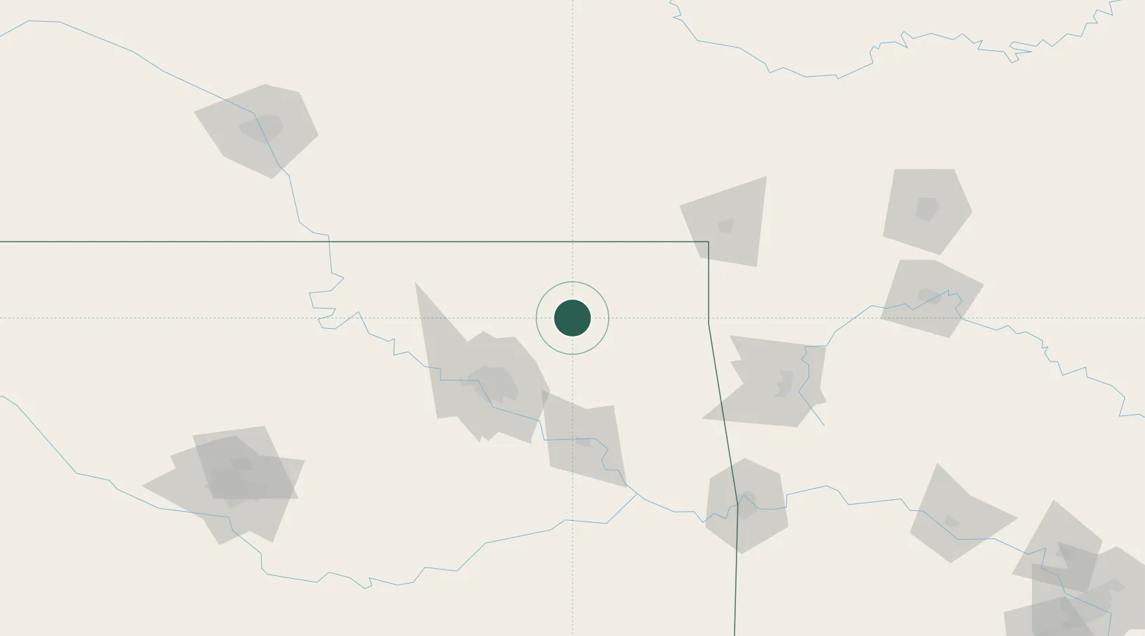
Populated place
Region
Oklahoma
Population
1,969
Time zone
America/Chicago
Elevation
220 m
Location
Nearby Logistics Neighbours
Cities
- 1Oologah24 km
- 2Claremore29 km
- 3Collinsville39 km
- 4Owasso47 km
- 5Welch49 km
Ports
- 1Port Of Memphis504 km
- 2Beaumont728 km
- 3Lake Charles731 km
- 4Orange735 km
- 5Port Neches740 km
Airports
Trade Zones
- 1FTZ No. 053 Rogers County42 km
- 2FTZ No. 164 Muskogee89 km
- 3FTZ No. 225 Springfield217 km
- 4FTZ No. 106 Oklahoma City221 km
- 5FTZ No. 161 Sedgwick County242 km
DatabookThe Record of Consolidated Knowledge
United States beyond logistics?