Transport Functions
Road
Multimodal
Hub Profile
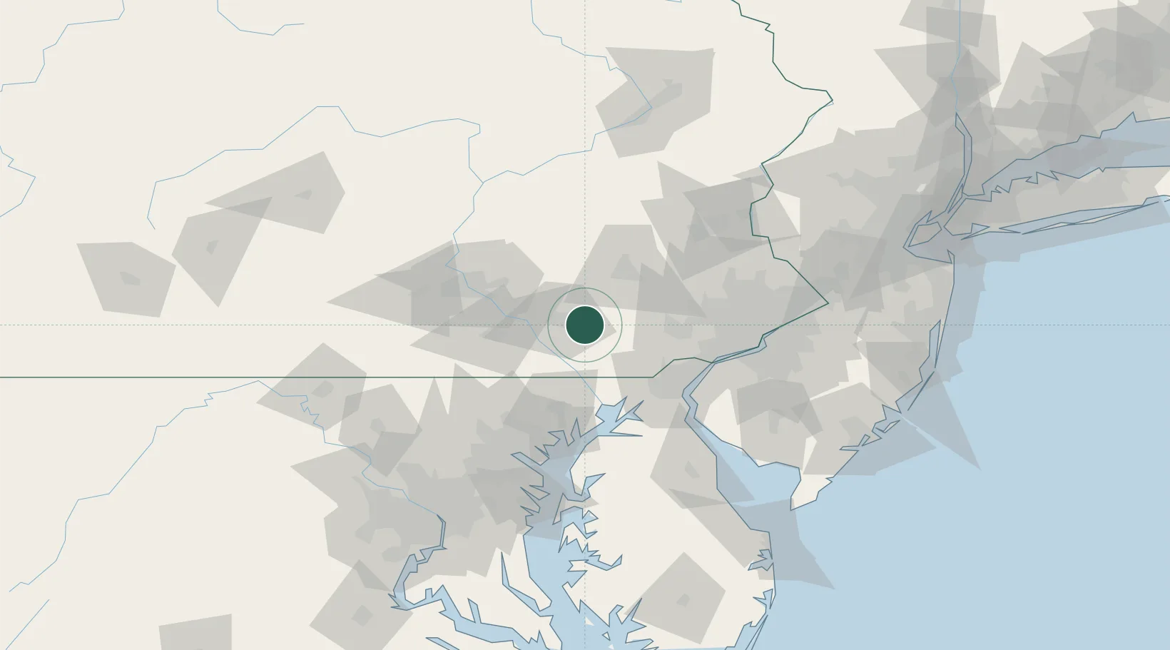
Place type
Populated place
Region
Pennsylvania
Population
357
Time zone
America/New_York
Elevation
109 m
Location
Nearby Logistics Neighbours
Cities
- 1Ronks2 km
- 2Gordonville5 km
- 3Strasburg7 km
- 4Lampeter8 km
- 5New Providence13 km
Ports
- 1Havre De Grace56 km
- 2Wilmington64 km
- 3New Castle68 km
- 4Deepwater Point68 km
- 5Marcus Hook70 km
Airports
Trade Zones
DatabookThe Record of Consolidated Knowledge
United States beyond logistics?