UN/LOCODE hub · United States
USLN8

Lanoka Harbor

39.8667°, -74.1667°
1
Transport functions

Transport Functions

Multimodal
UN/LOCODE

Hub Profile

Place type
Populated place
GeoNames
Region
New Jersey
GeoNames
Time zone
America/New_York
GeoNames
Elevation
2 m
GeoNames

Location

Location of USLN8
Natural Earth 10m (public domain) · New Jersey · USLN8 · 39.87, -74.17GoogleOSMYandex

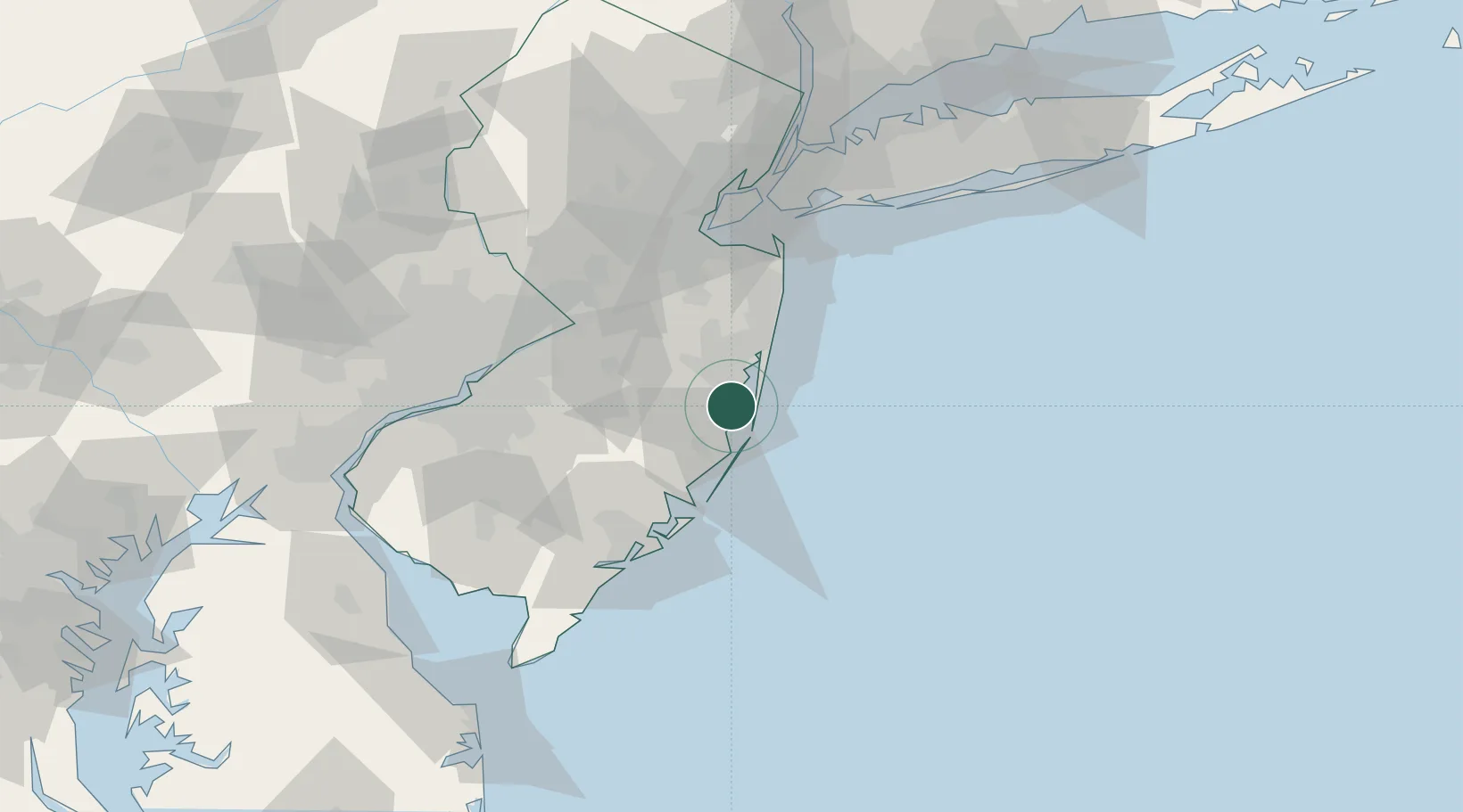
Nearby Logistics Neighbours

Cities
  1. 1Ocean Gate6 km
  2. 2Barnegat14 km
  3. 3Harvey Cedars19 km
  4. 4Long Beach20 km
  5. 5Manchester21 km
Nearest neighbours — logibook spatial index (haversine) over the source coordinates
Ports
  1. 1Barnegat13 km
  2. 2Atlantic City60 km
  3. 3Trenton63 km
  4. 4Leonardo64 km
  5. 5Bristol64 km
Nearest neighbours — logibook spatial index (haversine) over the source coordinates
Airports
  1. 1Lakehurst Maxfield Field Airport24 km
  2. 2Mc Guire Air Force Base40 km
  3. 3Atlantic City International Airport58 km
  4. 4Trenton Mercer Airport72 km
  5. 5Northeast Philadelphia Airport76 km
Nearest neighbours — logibook spatial index (haversine) over the source coordinates
Trade Zones
  1. 1FTZ No. 235 Lakewood24 km
  2. 2FTZ No. 200 Mercer County74 km
  3. 3FTZ No. 049 Newark Elizabeth92 km
  4. 4FTZ No. 035 Philadelphia94 km
  5. 5FTZ No. 001 New York City95 km
Nearest neighbours — logibook spatial index (haversine) over the source coordinates
DatabookThe Record of Consolidated Knowledge
United States beyond logistics?
Browse databook

All Sources

LocationsUN/LOCODE
UN/LOCODE — free
Portsthe NGA World Port Index
Public domain (US gov)
AirportsOurAirports
Public domain
Trade Zonesthe World Bank SEZ database
CC BY 4.0
Trade ZonesOpen Zone Map
CC BY
← United States locations