Medium airport · United States
Lakehurst Maxfield Field AirportKNEL
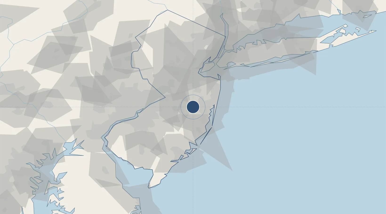
40.0333°, -74.3533°
5,002 ft
Longest runway
2
Runways
101 ft
Elevation
Runway & Layout

Radio Frequencies
TWR
127.775 MHz
GND
118.375 MHz
A/D
124.15 MHz
MC GUIRE APP/DEP
RDO
113.8 MHz
MILLVILLE RDO
Navaids
COL VOR-DME Colts Neck 115.40 MHz
NEL TACAN Lakehurst 111.80 MHz
NEL NDB Lakehurst 396 kHz
RBV VORTAC Robbinsville 113.80 MHz
Runways · 2
| Runway | Dimensions | Surface | True heading | Lit |
|---|---|---|---|---|
| 06/24 | 5,002 × 150ft | Asphalt | 050° | ✓ |
| 15/33 | 5,001 × 150ft | Asphalt | 140° | ✓ |
Airport Specifications
IATA code
NEL
ICAO code
KNEL
Airport class
Medium airport
Scheduled service
No
Runway surface
Asphalt
Served city
Lakehurst
Location
Nearby Logistics Neighbours
Airports
Cities
- 1Manchester6 km
- 2Cream Ridge19 km
- 3Jacobstown20 km
- 4Robinsville21 km
- 5Browns Mills21 km
Ports
- 1Barnegat37 km
- 2Trenton40 km
- 3Bristol43 km
- 4Burlington44 km
- 5Sayreville48 km
Trade Zones
DatabookThe Record of Consolidated Knowledge
United States beyond logistics?