Transport Functions
Road
Multimodal
Hub Profile
Place type
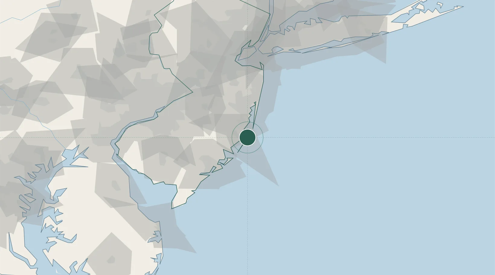
Populated place
Region
New Jersey
Time zone
America/New_York
Elevation
2 m
Location
Nearby Logistics Neighbours
Cities
- 1Harvey Cedars2 km
- 2Ship Bottom5 km
- 3Manahawkin9 km
- 4Barnegat9 km
- 5Lanoka Harbor20 km
Ports
- 1Barnegat10 km
- 2Atlantic City42 km
- 3Bristol76 km
- 4Burlington76 km
- 5Trenton78 km
Airports
Trade Zones
- 1FTZ No. 235 Lakewood44 km
- 2FTZ No. 142 Salem Millville89 km
- 3FTZ No. 200 Mercer County89 km
- 4FTZ No. 035 Philadelphia101 km
- 5FTZ No. 049 Newark Elizabeth112 km
DatabookThe Record of Consolidated Knowledge
United States beyond logistics?