Channel & Berth Profile
Pilotage, Tugs & Services
Pilotage advisableYES
Local assistanceYES
Tug assistanceNO
Salvage tugsNO
Potable waterYES
Diesel bunkersYES
MedicalYES
Facilities & Capabilities
Container—
Ro-Ro—
Liquid bulk—
Dry bulk—
Oil terminal—
Break bulk—
Dry dock—
RepairsNO
BunkeringYES
Rail linkYES
Dangerous cargo—
ISPS security—
Harbour Specifications
Harbour size
Very Small
Harbour type
Coastal (Natural)
Shelter
Good
Water body
North Atlantic Ocean
Tidal range
0.9 m
Overhead limit
Yes
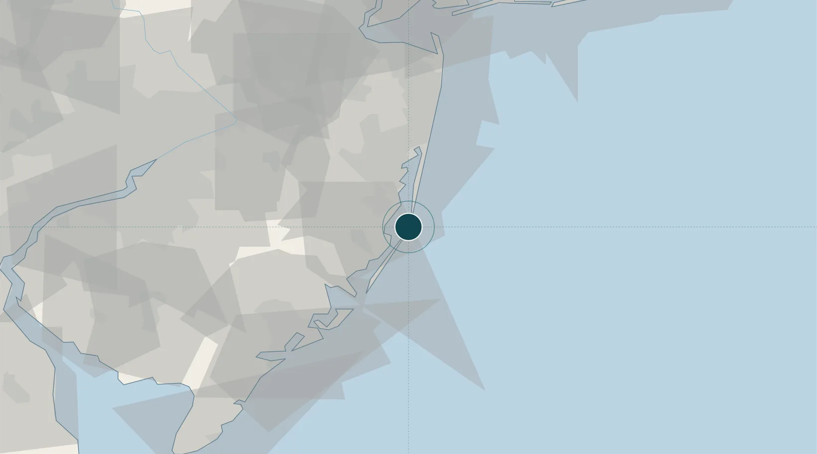
Location
Nearby Logistics Neighbours
Ports
- 1Atlantic City52 km
- 2Bristol74 km
- 3Leonardo74 km
- 4Burlington74 km
- 5Trenton75 km
Cities
- 1Harvey Cedars8 km
- 2Long Beach10 km
- 3Lanoka Harbor13 km
- 4Ship Bottom15 km
- 5Manahawkin16 km
Airports
Trade Zones
- 1FTZ No. 235 Lakewood36 km
- 2FTZ No. 200 Mercer County86 km
- 3FTZ No. 142 Salem Millville97 km
- 4FTZ No. 035 Philadelphia102 km
- 5FTZ No. 049 Newark Elizabeth103 km
DatabookThe Record of Consolidated Knowledge
United States beyond logistics?