UN/LOCODE hub · United States
USOAM
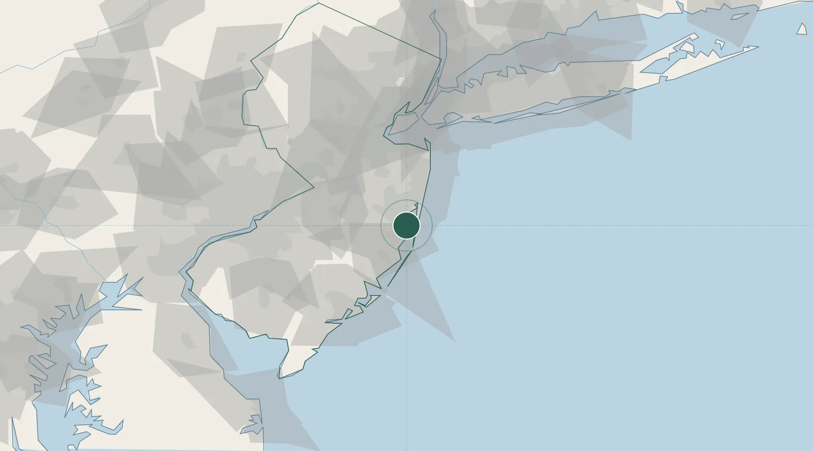
Ocean Gate
39.9167°, -74.1333°
2,010
Population
2
Transport functions
Transport Functions
Port
Road
Hub Profile
Place type
Populated place
Region
New Jersey
Population
2,010
Time zone
America/New_York
Elevation
1 m
Location
Nearby Logistics Neighbours
Cities
- 1Lanoka Harbor6 km
- 2Point Pleasant18 km
- 3Manchester18 km
- 4Point Pleasant Beach20 km
- 5Barnegat20 km
Ports
- 1Barnegat17 km
- 2Leonardo58 km
- 3Trenton62 km
- 4South Amboy64 km
- 5Sayreville64 km
Airports
Trade Zones
DatabookThe Record of Consolidated Knowledge
United States beyond logistics?