Medium airport · United States

Mc Guire Air Force BaseKWRI
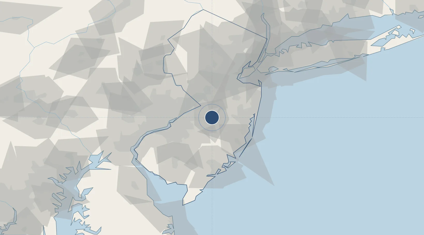
40.0156°, -74.5917°
11,451 ft
Longest runway
2
Runways
131 ft
Elevation

Runway & Layout

Mc Guire Air Force Base runway & taxiway layout
Runway & taxiway layout — OpenStreetMap (ODbL) / OurAirports

Radio Frequencies

ATIS
110.6 MHz
TWR
118.65 MHz
GND
121.8 MHz
CLD
135.2 MHz
CLNC DEL
A/D
124.15 MHz
APP/DEP
MISC
34 MHz
FT DIX RNG
OPS
41.35 MHz
ARMY OPS
PMSV
23.98 MHz
PMSV METRO
POST
31.94 MHz
COMD POST
PTD
134.1 MHz
OurAirports

Navaids

GXU VORTAC Mc Guire 110.60 MHz
OurAirports

Runways · 2

RunwayDimensions SurfaceTrue headingLit
06/24 11,451 × 150ft Asphalt 046°
18/36 7,126 × 150ft Asphalt 173°
OurAirports

Airport Specifications

IATA code
WRI
OurAirports
ICAO code
KWRI
OurAirports
Airport class
Medium airport
OurAirports
Scheduled service
No
OurAirports
Runway surface
Asphalt
OurAirports
Served city
Wrightstown
OurAirports

Location

Location of KWRI
Natural Earth 10m (public domain) · New Jersey · KWRI · 40.02, -74.59GoogleOSMYandex

Nearby Logistics Neighbours

Airports
  1. 1Lakehurst Maxfield Field Airport20 km
  2. 2Trenton Mercer Airport35 km
  3. 3Northeast Philadelphia Airport36 km
  4. 4Philadelphia International Airport58 km
  5. 5Atlantic City International Airport62 km
Nearest neighbours — logibook spatial index (haversine) over the source coordinates
Cities
  1. 1Browns Mills6 km
  2. 2Jacobstown6 km
  3. 3Jobstown8 km
  4. 4Columbus12 km
  5. 5Cream Ridge14 km
Nearest neighbours — logibook spatial index (haversine) over the source coordinates
Ports
  1. 1Bristol24 km
  2. 2Burlington25 km
  3. 3Trenton25 km
  4. 4Philadelphia47 km
  5. 5Camden47 km
Nearest neighbours — logibook spatial index (haversine) over the source coordinates
Trade Zones
  1. 1FTZ No. 235 Lakewood31 km
  2. 2FTZ No. 200 Mercer County37 km
  3. 3FTZ No. 035 Philadelphia57 km
  4. 4FTZ No. 049 Newark Elizabeth83 km
  5. 5FTZ No. 142 Salem Millville83 km
Nearest neighbours — logibook spatial index (haversine) over the source coordinates
DatabookThe Record of Consolidated Knowledge
United States beyond logistics?
Browse databook

All Sources

AirportsOurAirports
Public domain
Portsthe NGA World Port Index
Public domain (US gov)
LocationsUN/LOCODE
UN/LOCODE — free
Trade Zonesthe World Bank SEZ database
CC BY 4.0
Trade ZonesOpen Zone Map
CC BY
InfrastructureOpenStreetMap
ODbL 1.0
← United States airports