UN/LOCODE hub · United States
USNMJ
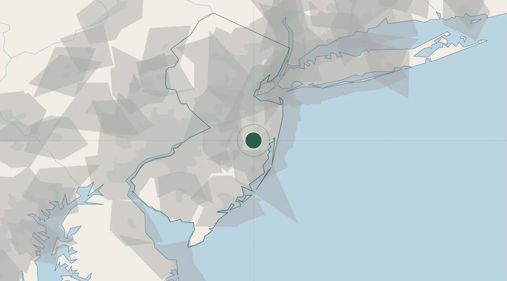
Manchester
40.0333°, -74.2833°
2,753
Population
2
Transport functions
Transport Functions
Rail
Road
Hub Profile
Place type
Populated place
Region
Pennsylvania
Population
2,753
Time zone
America/New_York
Elevation
153 m
Location
Nearby Logistics Neighbours
Cities
- 1Ocean Gate18 km
- 2Point Pleasant19 km
- 3Allenwood19 km
- 4Point Pleasant Beach21 km
- 5Lanoka Harbor21 km
Ports
- 1Barnegat34 km
- 2Trenton45 km
- 3Leonardo48 km
- 4Sayreville49 km
- 5Bristol49 km
Airports
Trade Zones
DatabookThe Record of Consolidated Knowledge
United States beyond logistics?