UN/LOCODE hub · United States
USBG7
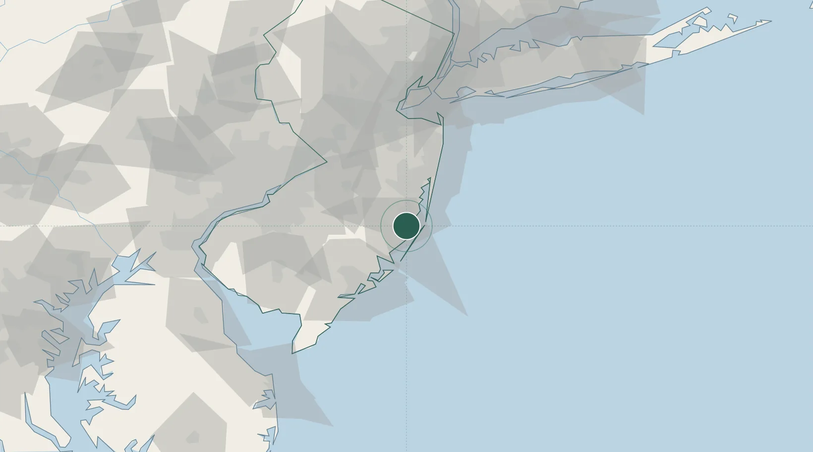
Barnegat
39.7500°, -74.2167°
2,817
Population
3
Transport functions
Transport Functions
Port
Rail
Road
Hub Profile
Place type
Populated place
Region
New Jersey
Population
2,817
Time zone
America/New_York
Elevation
11 m
Location
Nearby Logistics Neighbours
Cities
- 1Manahawkin8 km
- 2Harvey Cedars9 km
- 3Long Beach9 km
- 4Ship Bottom12 km
- 5Lanoka Harbor14 km
Ports
- 1Atlantic City46 km
- 2Bristol67 km
- 3Burlington67 km
- 4Trenton69 km
- 5Leonardo77 km
Airports
Trade Zones
- 1FTZ No. 235 Lakewood36 km
- 2FTZ No. 200 Mercer County80 km
- 3FTZ No. 142 Salem Millville87 km
- 4FTZ No. 035 Philadelphia93 km
- 5FTZ No. 049 Newark Elizabeth105 km
DatabookThe Record of Consolidated Knowledge
United States beyond logistics?