UN/LOCODE hub · United States
USLCS
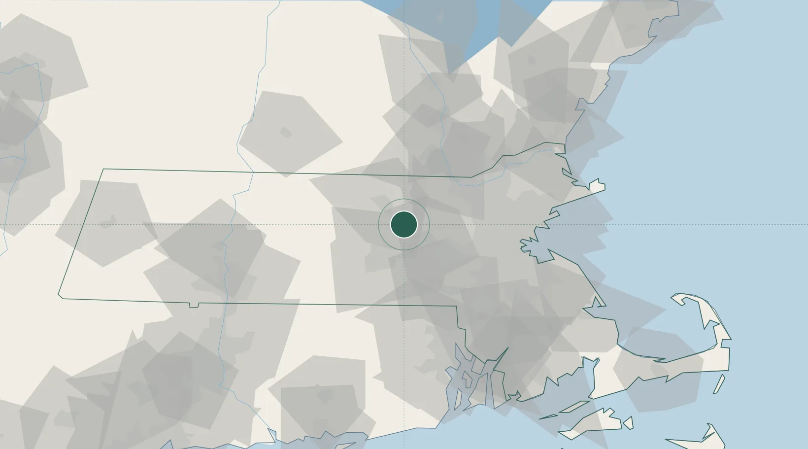
Lancaster
42.4500°, -71.6667°
7,509
Population
2
Transport functions
Transport Functions
Road
Multimodal
Hub Profile
Place type
Populated place
Region
Massachusetts
Population
7,509
Time zone
America/New_York
Elevation
94 m
Location
Nearby Logistics Neighbours
Cities
- 1Boylston8 km
- 2Boxboro13 km
- 3West Boylston13 km
- 4Devenscrest14 km
- 5Marlborough, Middlesex15 km
Airports
Trade Zones
DatabookThe Record of Consolidated Knowledge
United States beyond logistics?