UN/LOCODE hub · United States
USWL5

Welsh

30.2333°, -92.8167°
3,227
Population
1
Transport functions

Transport Functions

Multimodal
UN/LOCODE

Hub Profile

Place type
Populated place
GeoNames
Region
Louisiana
GeoNames
Population
3,227
GeoNames
Time zone
America/Chicago
GeoNames
Elevation
6 m
GeoNames

Location

Location of USWL5
Natural Earth 10m (public domain) · Louisiana · USWL5 · 30.23, -92.82GoogleOSMYandex

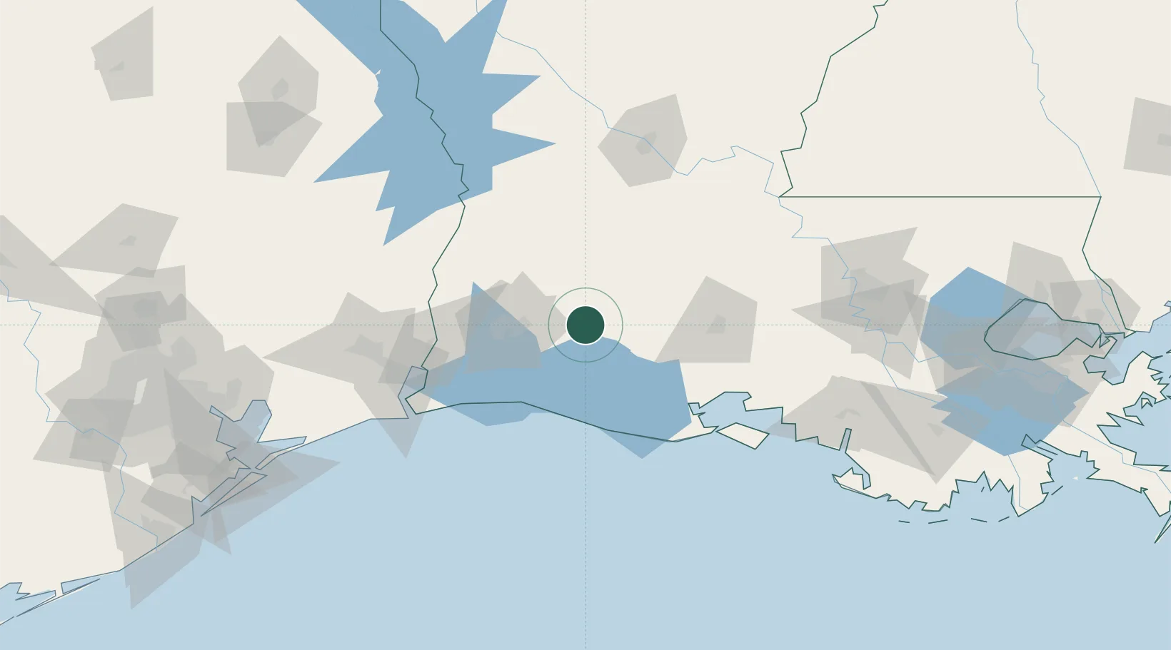
Nearby Logistics Neighbours

Cities
  1. 1Lake Arthur24 km
  2. 2Kinder28 km
  3. 3Elton29 km
  4. 4Lake Charles42 km
  5. 5Church Point62 km
Nearest neighbours — logibook spatial index (haversine) over the source coordinates
Ports
  1. 1Lake Charles42 km
  2. 2Orange90 km
  3. 3Port Neches112 km
  4. 4Sabine116 km
  5. 5Sabine Pass118 km
Nearest neighbours — logibook spatial index (haversine) over the source coordinates
Airports
  1. 1Lake Charles Regional Airport41 km
  2. 2Lafayette Regional Airport80 km
  3. 3Beauregard Regional Airport83 km
  4. 4Acadiana Regional Airport92 km
  5. 5Polk Army Air Field97 km
Nearest neighbours — logibook spatial index (haversine) over the source coordinates
Trade Zones
  1. 1FTZ No. 087 Lake Charles53 km
  2. 2FTZ No. 291 Cameron Parish86 km
  3. 3FTZ No. 117 Orange102 km
  4. 4FTZ No. 116 Port Arthur132 km
  5. 5FTZ No. 115 Beaumont134 km
Nearest neighbours — logibook spatial index (haversine) over the source coordinates
DatabookThe Record of Consolidated Knowledge
United States beyond logistics?
Browse databook

All Sources

LocationsUN/LOCODE
UN/LOCODE — free
LocationsGeoNames
CC BY 4.0
Portsthe NGA World Port Index
Public domain (US gov)
AirportsOurAirports
Public domain
Trade Zonesthe World Bank SEZ database
CC BY 4.0
Trade ZonesOpen Zone Map
CC BY
← United States locations