Channel & Berth Profile
Pilotage, Tugs & Services
Pilotage compulsoryYES
Tug assistanceNO
Salvage tugsNO
Potable waterYES
Diesel bunkersYES
Facilities & Capabilities
Container—
Ro-Ro—
Liquid bulk—
Dry bulk—
Oil terminal—
Break bulk—
Dry dock—
RepairsNO
Bunkering—
Rail link—
Dangerous cargo—
ISPS security—
Harbour Specifications
Harbour size
Very Small
Harbour type
Coastal (Natural)
Shelter
Good
Water body
North Atlantic Ocean
Tidal range
2.7 m
Overhead limit
No
Pilotage
Yes
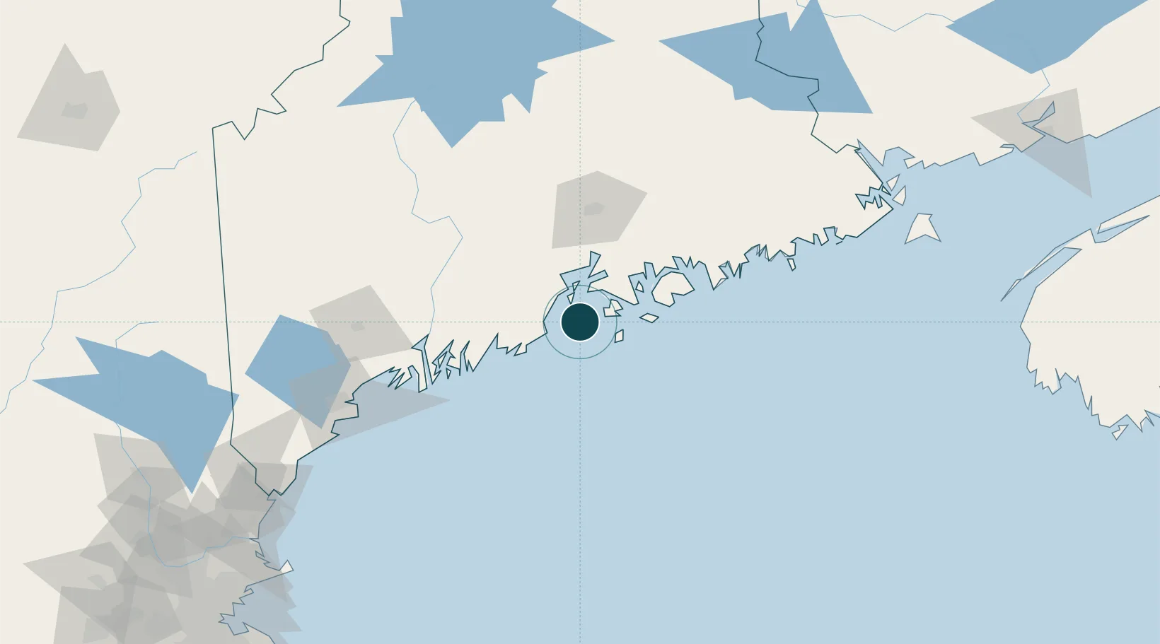
Location
Nearby Logistics Neighbours
Ports
- 1Vinalhaven10 km
- 2Stonington16 km
- 3Rockport17 km
- 4Camden18 km
- 5Rockland19 km
Cities
- 1Camden16 km
- 2Rockport18 km
- 3Little Deer Isle22 km
- 4Spruce Head25 km
- 5Saint George28 km
Airports
- 1Witherspoons Airport2 km
- 2Vinalhaven Airport8 km
- 3Islesboro Airport19 km
- 4Knox County Regional Airport20 km
- 5Matinicus Island Airport29 km
Trade Zones
- 1FTZ No. 058 Bangor75 km
- 2FTZ No. 186 Waterville80 km
- 3FTZ No. 263 Auburn107 km
- 4FTZ No. 081 Portsmouth199 km
- 5Saint John255 km
DatabookThe Record of Consolidated Knowledge
United States beyond logistics?