UN/LOCODE hub · United States
USYKB
York Beach
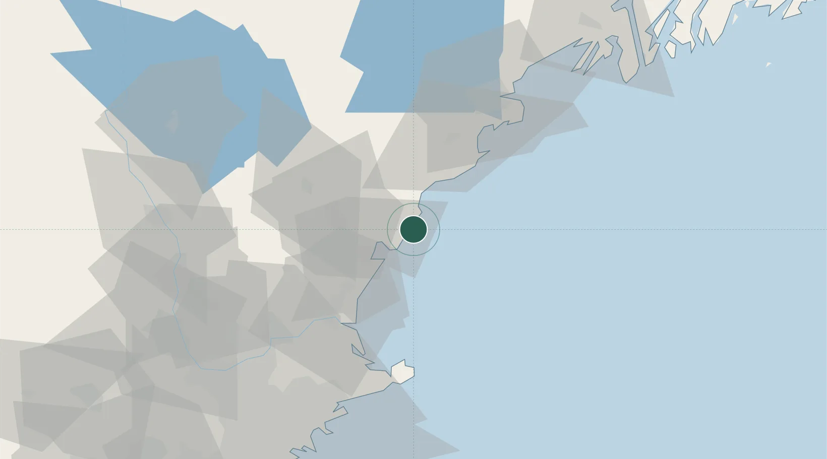
43.1667°, -70.6000°
12,854
Population
2
Transport functions
Transport Functions
Port
Road
Hub Profile
Place type
Populated place
Region
Maine
Population
12,854
Time zone
America/New_York
Elevation
7 m
Location
Nearby Logistics Neighbours
Cities
- 1York Harbor5 km
- 2Ogunquit9 km
- 3Kittery14 km
- 4Rollinsford19 km
- 5Newington19 km
Ports
- 1Portsmouth15 km
- 2Kennebunkport25 km
- 3Saco39 km
- 4Newburyport45 km
- 5Rockport56 km
Airports
Trade Zones
- 1FTZ No. 081 Portsmouth23 km
- 2FTZ No. 027 Boston104 km
- 3FTZ No. 263 Auburn108 km
- 4FTZ No. 105 Providence and North Kingstown166 km
- 5FTZ No. 268 Brattleboro166 km
DatabookThe Record of Consolidated Knowledge
United States beyond logistics?