Transport Functions
Road
Multimodal
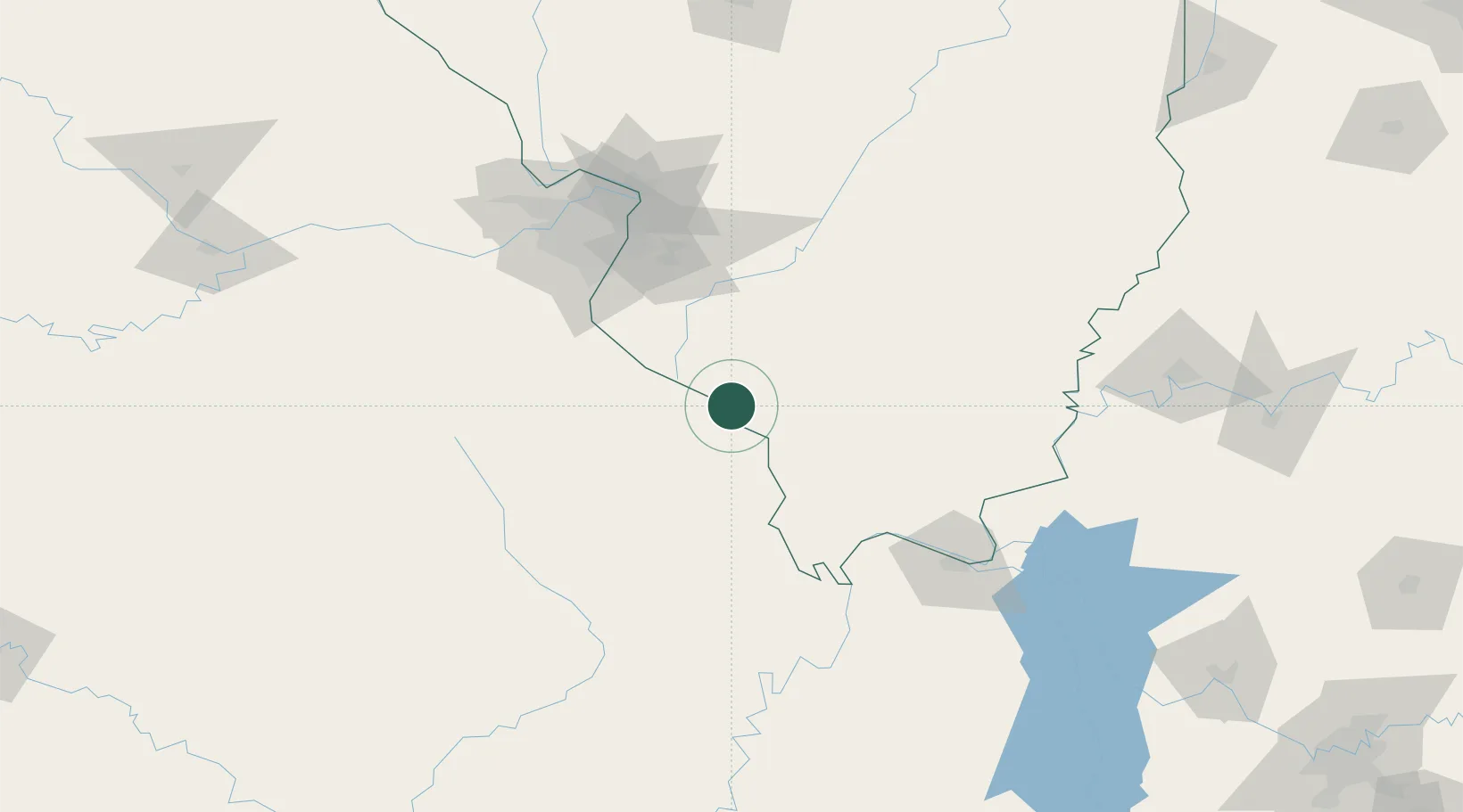
Hub Profile
Place type
Populated place
Region
Illinois
Population
41
Time zone
America/Chicago
Elevation
114 m
Location
Nearby Logistics Neighbours
Cities
- 1Steeleville19 km
- 2Altenburg25 km
- 3Glen Allen28 km
- 4Sainte Genevieve33 km
- 5Evansville35 km
Ports
- 1Port Of Memphis311 km
- 2Gary467 km
- 3Indiana Harbor468 km
- 4Calumet Harbor472 km
- 5Chicago485 km
Airports
Trade Zones
- 1FTZ No. 031 Granite City110 km
- 2FTZ No. 102 St. Louis County126 km
- 3FTZ No. 294 Western Kentucky130 km
- 4FTZ No. 177 Evansville184 km
- 5FTZ No. 245 Decatur232 km
DatabookThe Record of Consolidated Knowledge
United States beyond logistics?