Transport Functions
Road
Multimodal
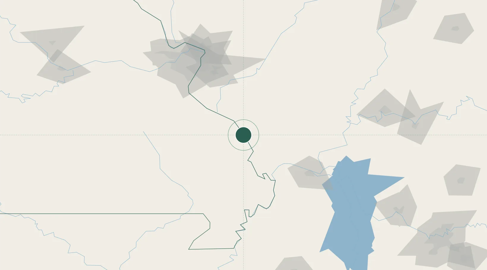
Hub Profile
Place type
Populated place
Region
Missouri
Population
351
Time zone
America/Chicago
Elevation
178 m
Location
Nearby Logistics Neighbours
Cities
- 1Pomona22 km
- 2Rockwood25 km
- 3Steeleville41 km
- 4Glen Allen43 km
- 5Chaffee50 km
Ports
- 1Port Of Memphis290 km
- 2Gary483 km
- 3Indiana Harbor485 km
- 4Calumet Harbor489 km
- 5Chicago502 km
Airports
Trade Zones
- 1FTZ No. 294 Western Kentucky109 km
- 2FTZ No. 031 Granite City134 km
- 3FTZ No. 102 St. Louis County149 km
- 4FTZ No. 177 Evansville178 km
- 5FTZ No. 283 West Tennessee210 km
DatabookThe Record of Consolidated Knowledge
United States beyond logistics?