UN/LOCODE hub · United States
USGA3

Glen Allen

37.8167°, -90.0167°
85
Population
1
Transport functions

Transport Functions

Multimodal
UN/LOCODE

Hub Profile

Place type
Populated place
GeoNames
Region
Missouri
GeoNames
Population
85
GeoNames
Time zone
America/Chicago
GeoNames
Elevation
141 m
GeoNames

Location

Location of USGA3
Natural Earth 10m (public domain) · Missouri · USGA3 · 37.82, -90.02GoogleOSMYandex

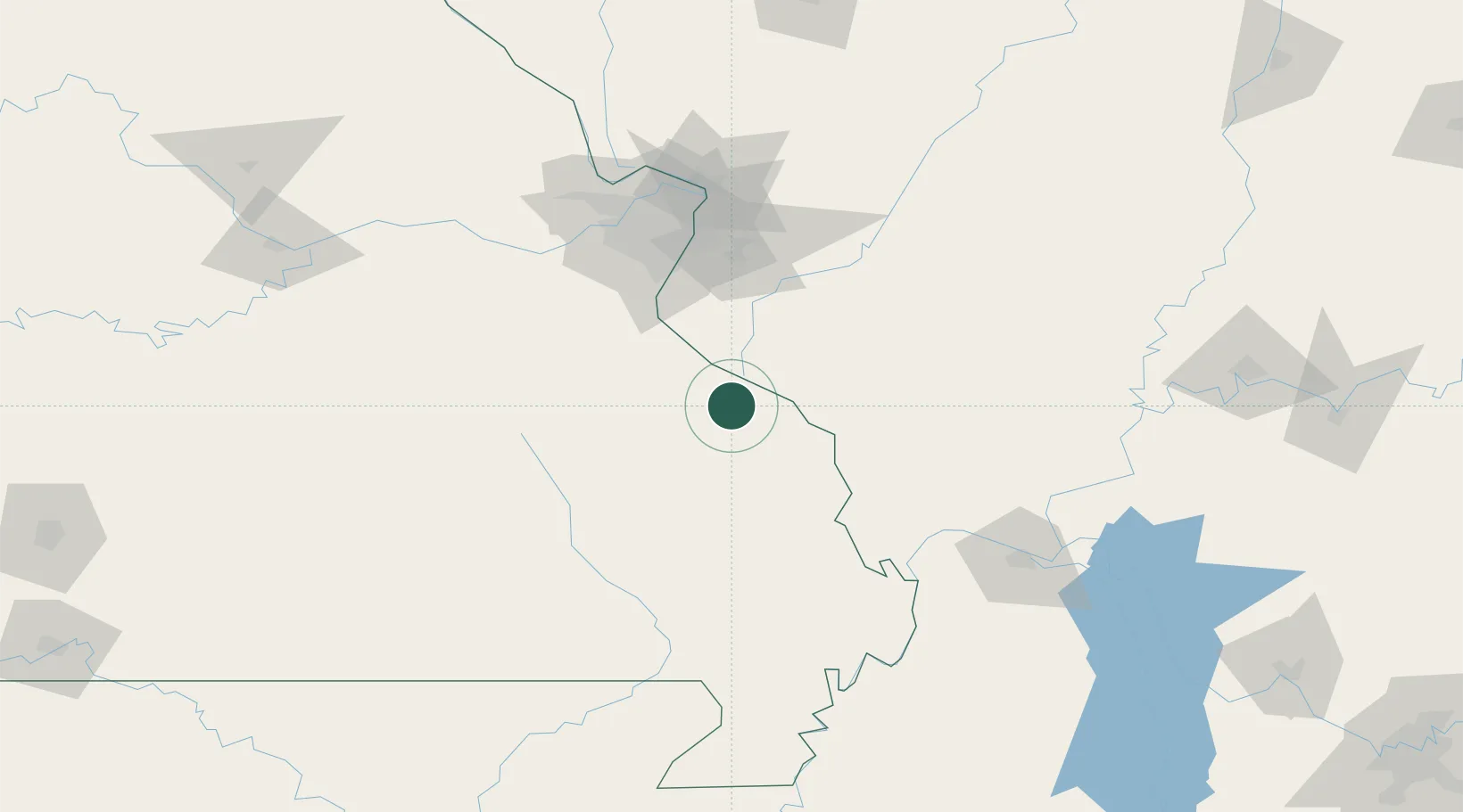
Nearby Logistics Neighbours

Cities
  1. 1Sainte Genevieve17 km
  2. 2Rockwood28 km
  3. 3Evansville31 km
  4. 4Fredericktown38 km
  5. 5Steeleville38 km
Nearest neighbours — logibook spatial index (haversine) over the source coordinates
Ports
  1. 1Port Of Memphis306 km
  2. 2Gary481 km
  3. 3Indiana Harbor482 km
  4. 4Calumet Harbor485 km
  5. 5Chicago497 km
Nearest neighbours — logibook spatial index (haversine) over the source coordinates
Airports
  1. 1Southern Illinois Airport67 km
  2. 2Cape Girardeau Regional Airport77 km
  3. 3Scott AFB/Midamerica Airport83 km
  4. 4Veterans Airport of Southern Illinois88 km
  5. 5St. Louis Lambert International Airport108 km
Nearest neighbours — logibook spatial index (haversine) over the source coordinates
Trade Zones
  1. 1FTZ No. 031 Granite City104 km
  2. 2FTZ No. 102 St. Louis County110 km
  3. 3FTZ No. 294 Western Kentucky152 km
  4. 4FTZ No. 177 Evansville212 km
  5. 5FTZ No. 283 West Tennessee232 km
Nearest neighbours — logibook spatial index (haversine) over the source coordinates
DatabookThe Record of Consolidated Knowledge
United States beyond logistics?
Browse databook

All Sources

LocationsUN/LOCODE
UN/LOCODE — free
LocationsGeoNames
CC BY 4.0
Portsthe NGA World Port Index
Public domain (US gov)
AirportsOurAirports
Public domain
Trade Zonesthe World Bank SEZ database
CC BY 4.0
Trade ZonesOpen Zone Map
CC BY
← United States locations