UN/LOCODE hub · United States
USTGN
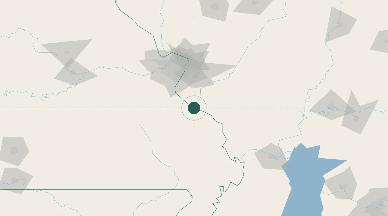
Sainte Genevieve
37.9667°, -90.0333°
4,410
Population
4
Transport functions
Transport Functions
Rail
Road
Multimodal
Fixed Transport
Hub Profile
Place type
Populated place
Region
Missouri
Population
4,410
Time zone
America/Chicago
Elevation
117 m
Location
Nearby Logistics Neighbours
Cities
- 1Evansville16 km
- 2Glen Allen17 km
- 3Red Bud28 km
- 4Baldwin28 km
- 5Rockwood33 km
Ports
- 1Port Of Memphis323 km
- 2Gary467 km
- 3Indiana Harbor468 km
- 4Calumet Harbor471 km
- 5Chicago482 km
Airports
Trade Zones
- 1FTZ No. 031 Granite City87 km
- 2FTZ No. 102 St. Louis County96 km
- 3FTZ No. 294 Western Kentucky162 km
- 4FTZ No. 177 Evansville212 km
- 5FTZ No. 245 Decatur226 km
DatabookThe Record of Consolidated Knowledge
United States beyond logistics?