UN/LOCODE hub · United States
USVTS
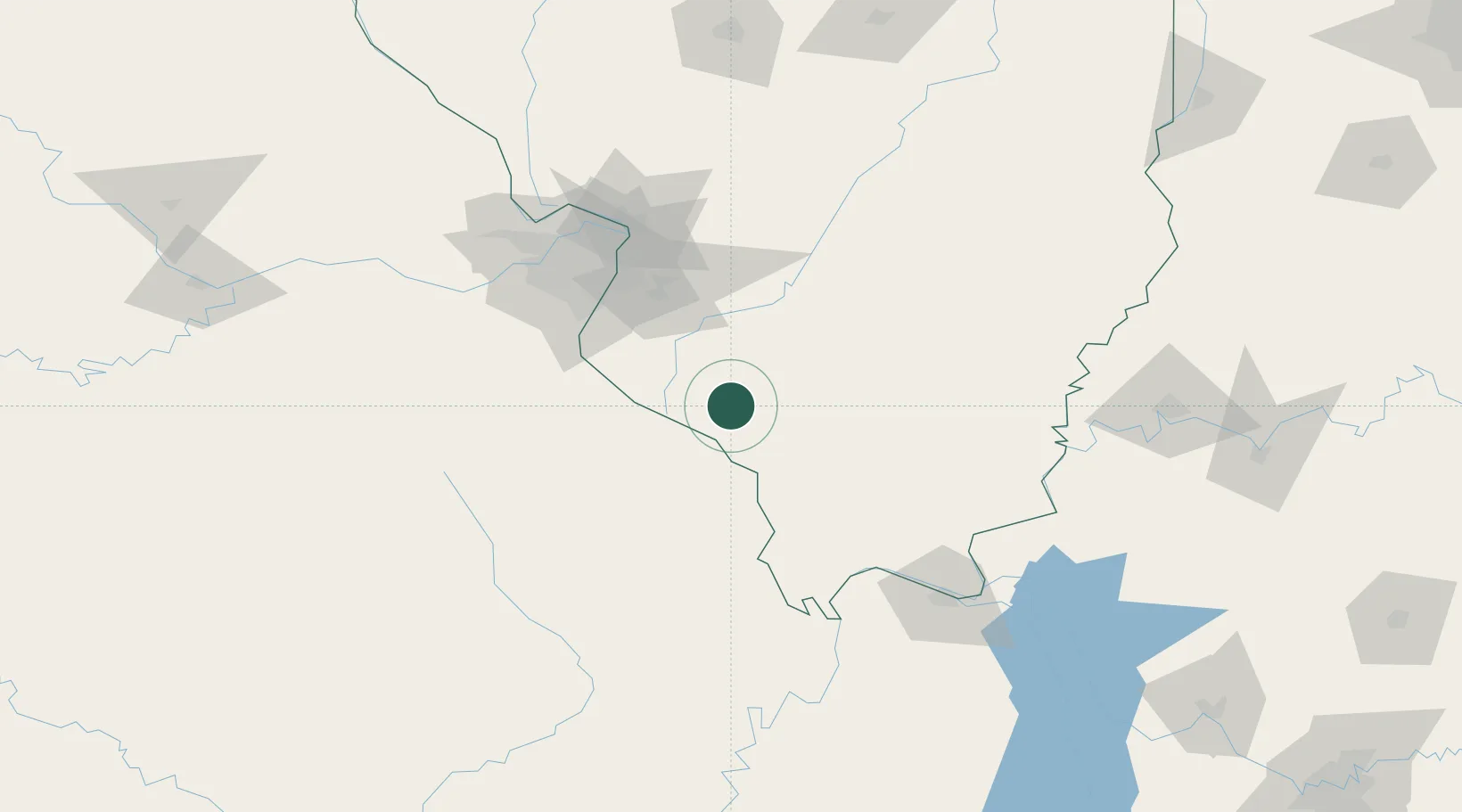
Steeleville
38.0000°, -89.6500°
1,993
Population
3
Transport functions
Transport Functions
Rail
Road
Multimodal
Hub Profile
Place type
Populated place
Region
Illinois
Population
1,993
Time zone
America/Chicago
Elevation
126 m
Location
Nearby Logistics Neighbours
Cities
- 1Rockwood19 km
- 2Coulterville21 km
- 3Baldwin25 km
- 4Pinckneyville25 km
- 5Evansville27 km
Ports
- 1Port Of Memphis329 km
- 2Gary448 km
- 3Indiana Harbor450 km
- 4Calumet Harbor453 km
- 5Chicago466 km
Airports
Trade Zones
- 1FTZ No. 031 Granite City95 km
- 2FTZ No. 102 St. Louis County117 km
- 3FTZ No. 294 Western Kentucky140 km
- 4FTZ No. 177 Evansville178 km
- 5FTZ No. 245 Decatur213 km
DatabookThe Record of Consolidated Knowledge
United States beyond logistics?