UN/LOCODE hub · United States
USEVN
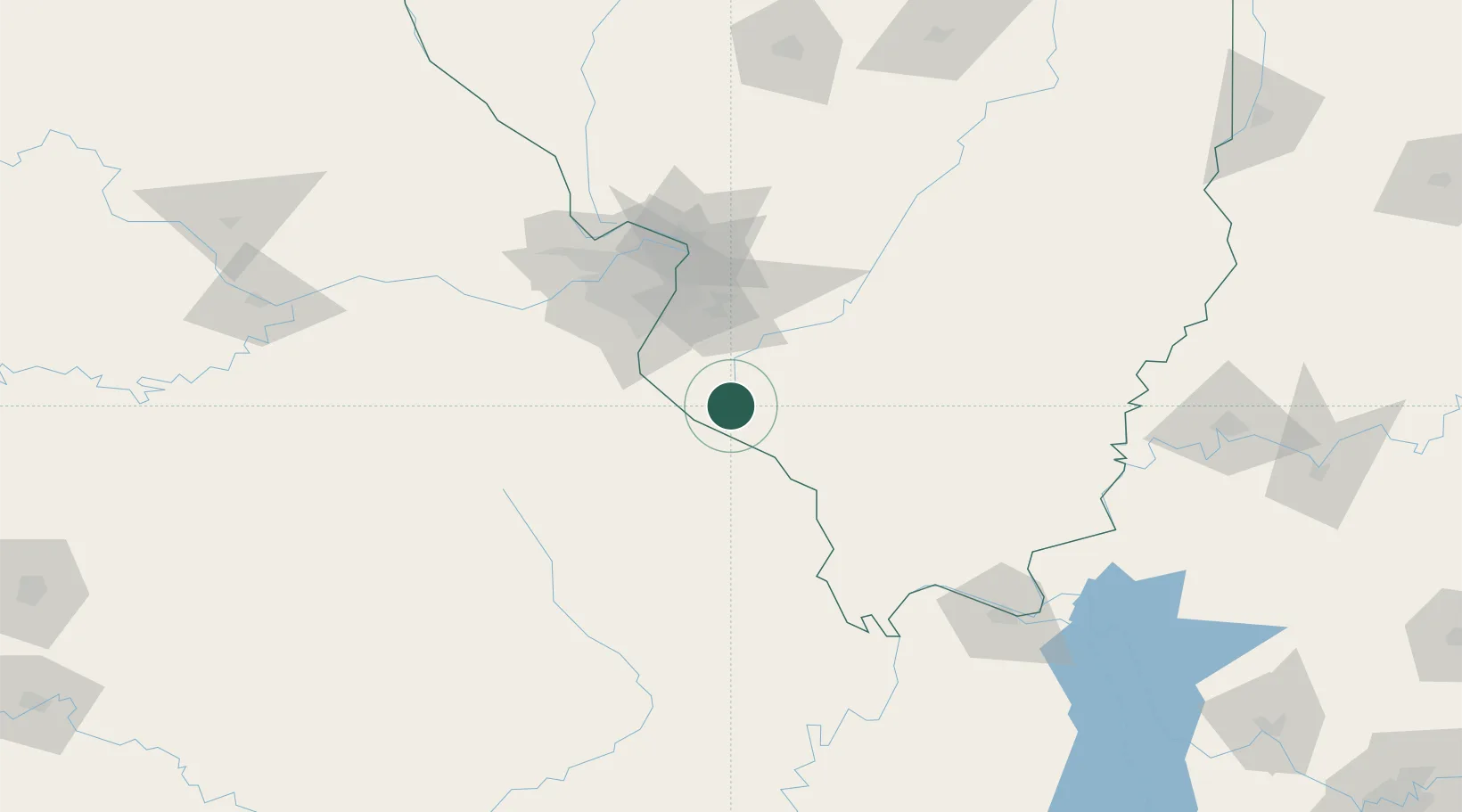
Evansville
38.0833°, -89.9333°
675
Population
3
Transport functions
Transport Functions
Rail
Road
Multimodal
Hub Profile
Place type
Populated place
Region
Illinois
Population
675
Time zone
America/Chicago
Elevation
119 m
Location
Nearby Logistics Neighbours
Cities
- 1Baldwin13 km
- 2Sainte Genevieve16 km
- 3Red Bud16 km
- 4Marissa25 km
- 5Steeleville27 km
Ports
- 1Port Of Memphis336 km
- 2Gary451 km
- 3Indiana Harbor452 km
- 4Calumet Harbor455 km
- 5Chicago467 km
Airports
Trade Zones
- 1FTZ No. 031 Granite City77 km
- 2FTZ No. 102 St. Louis County92 km
- 3FTZ No. 294 Western Kentucky164 km
- 4FTZ No. 177 Evansville203 km
- 5FTZ No. 245 Decatur211 km
DatabookThe Record of Consolidated Knowledge
United States beyond logistics?