UN/LOCODE hub · United States
USNFO
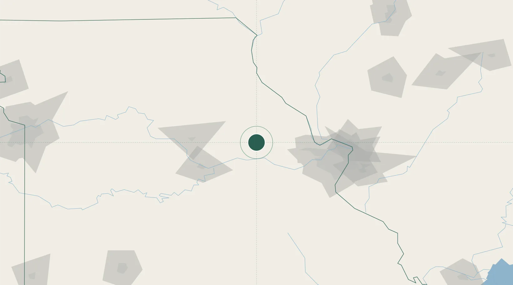
New Florence
38.9167°, -91.4500°
728
Population
3
Transport functions
Transport Functions
Rail
Road
Multimodal
Hub Profile
Place type
Populated place
Region
Missouri
Population
728
Time zone
America/Chicago
Elevation
266 m
Location
Nearby Logistics Neighbours
Cities
- 1High Hill8 km
- 2Jonesburg15 km
- 3Hermann24 km
- 4New Haven41 km
- 5Kingdom City42 km
Ports
- 1Port Of Memphis443 km
- 2Calumet Harbor457 km
- 3Indiana Harbor458 km
- 4Gary461 km
- 5Chicago464 km
Airports
Trade Zones
- 1FTZ No. 102 St. Louis County71 km
- 2FTZ No. 031 Granite City110 km
- 3FTZ No. 055 Burlington213 km
- 4FTZ No. 245 Decatur231 km
- 5FTZ No. 225 Springfield242 km
DatabookThe Record of Consolidated Knowledge
United States beyond logistics?