UN/LOCODE hub · United States
USIHH

High Hill

38.8667°, -91.3833°
185
Population
2
Transport functions

Transport Functions

Road
Multimodal
UN/LOCODE

Hub Profile

Place type
Populated place
GeoNames
Region
Missouri
GeoNames
Population
185
GeoNames
Time zone
America/Chicago
GeoNames
Elevation
272 m
GeoNames

Location

Location of USIHH
Natural Earth 10m (public domain) · Missouri · USIHH · 38.87, -91.38GoogleOSMYandex

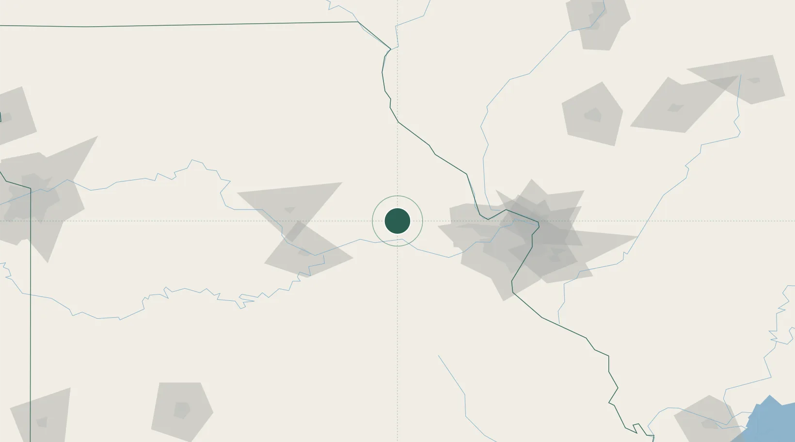
Nearby Logistics Neighbours

Cities
  1. 1Jonesburg7 km
  2. 2New Florence8 km
  3. 3Hermann19 km
  4. 4New Haven33 km
  5. 5Marthasville39 km
Nearest neighbours — logibook spatial index (haversine) over the source coordinates
Ports
  1. 1Port Of Memphis436 km
  2. 2Calumet Harbor457 km
  3. 3Indiana Harbor457 km
  4. 4Gary460 km
  5. 5Chicago464 km
Nearest neighbours — logibook spatial index (haversine) over the source coordinates
Airports
  1. 1Spirit of St Louis Airport67 km
  2. 2Columbia Regional Airport73 km
  3. 3St. Louis Lambert International Airport89 km
  4. 4St Louis Regional Airport116 km
  5. 5Quincy Regional Airport Baldwin Field121 km
Nearest neighbours — logibook spatial index (haversine) over the source coordinates
Trade Zones
  1. 1FTZ No. 102 St. Louis County64 km
  2. 2FTZ No. 031 Granite City103 km
  3. 3FTZ No. 055 Burlington218 km
  4. 4FTZ No. 245 Decatur228 km
  5. 5FTZ No. 225 Springfield242 km
Nearest neighbours — logibook spatial index (haversine) over the source coordinates
DatabookThe Record of Consolidated Knowledge
United States beyond logistics?
Browse databook

All Sources

LocationsUN/LOCODE
UN/LOCODE — free
LocationsGeoNames
CC BY 4.0
Portsthe NGA World Port Index
Public domain (US gov)
AirportsOurAirports
Public domain
Trade Zonesthe World Bank SEZ database
CC BY 4.0
Trade ZonesOpen Zone Map
CC BY
← United States locations