Transport Functions
Road
Multimodal
Hub Profile
Place type
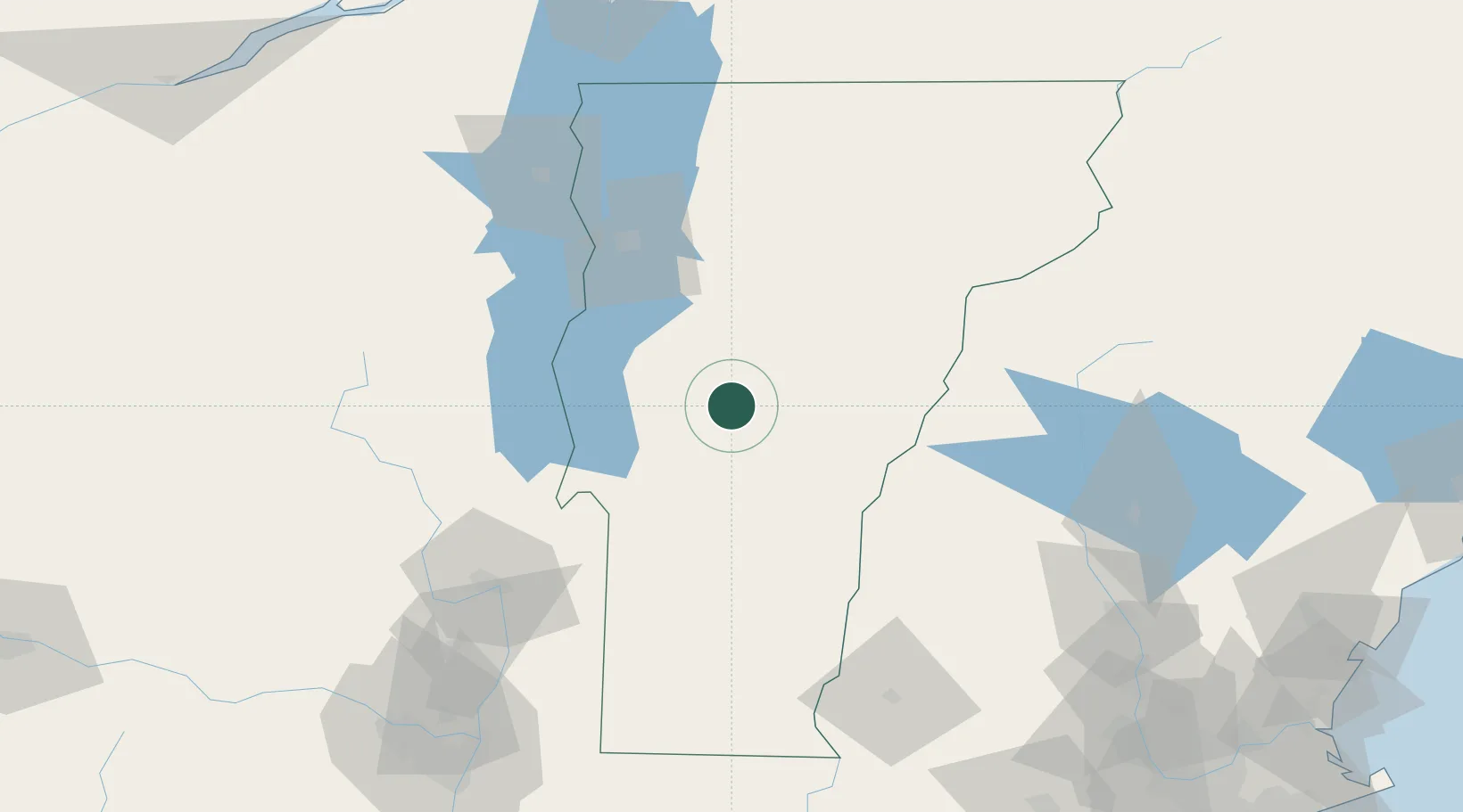
Populated place
Region
Vermont
Population
326
Time zone
America/New_York
Elevation
276 m
Location
Nearby Logistics Neighbours
Cities
- 1Randolph14 km
- 2Stockbridge16 km
- 3Forest Dale21 km
- 4South Royalton28 km
- 5Northfield30 km
Ports
- 1Troy149 km
- 2Albany159 km
- 3Rensselaer159 km
- 4Beauharnois177 km
- 5St Anicet182 km
Airports
Trade Zones
- 1FTZ No. 268 Brattleboro119 km
- 2FTZ No. 121 Albany155 km
- 3Greater Montreal Free Zone Center186 km
- 4FTZ No. 081 Portsmouth187 km
- 5FTZ No. 201 Holyoke189 km
DatabookThe Record of Consolidated Knowledge
United States beyond logistics?