UN/LOCODE hub · United States
USKE7
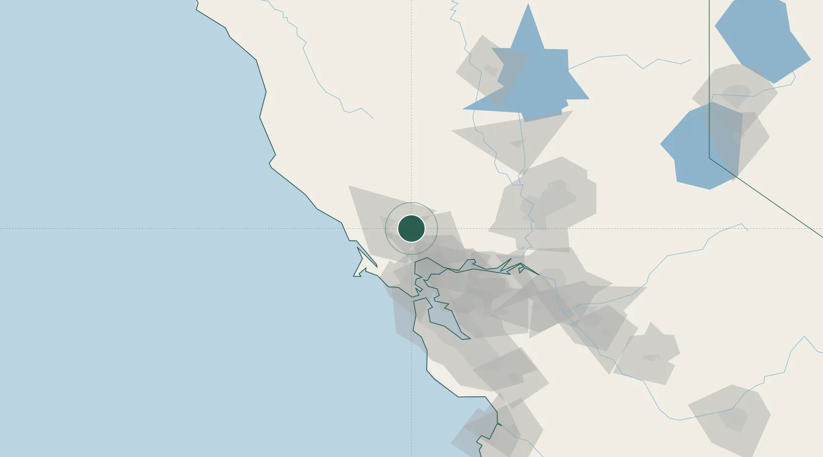
Kenwood
38.4000°, -122.5333°
1,028
Population
2
Transport functions
Transport Functions
Port
Multimodal
Hub Profile
Place type
Populated place
Region
California
Population
1,028
Time zone
America/Los_Angeles
Elevation
129 m
Location
Nearby Logistics Neighbours
Ports
- 1Mare Island41 km
- 2South Vallejo43 km
- 3Pinole Point45 km
- 4Oleum45 km
- 5Bodega Bay46 km
Airports
Trade Zones
- 1FTZ No. 003 San Francisco68 km
- 2FTZ No. 056 Oakland70 km
- 3FTZ No. 143 West Sacramento90 km
- 4FTZ No. 231 Stockton117 km
- 5FTZ No. 018 San Jose131 km
DatabookThe Record of Consolidated Knowledge
United States beyond logistics?