Transport Functions
Rail
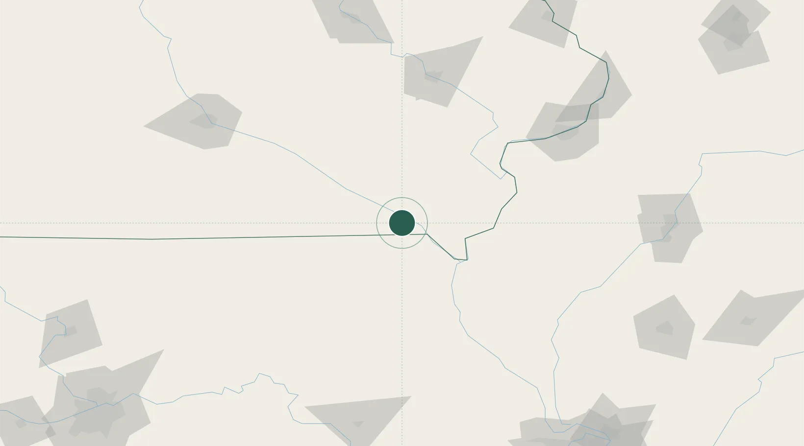
Hub Profile
Place type
Provincial seat
Region
Iowa
Population
947
Time zone
America/Chicago
Elevation
178 m
Location
Nearby Logistics Neighbours
Cities
- 1Kilbourn9 km
- 2Bonaparte13 km
- 3Houghton30 km
- 4Franklin38 km
- 5New London52 km
Ports
- 1Great Lakes385 km
- 2Chicago386 km
- 3Wilmette387 km
- 4Calumet Harbor388 km
- 5Waukegan390 km
Airports
Trade Zones
- 1FTZ No. 055 Burlington72 km
- 2FTZ No. 175 Cedar Rapids139 km
- 3FTZ No. 107 Polk County182 km
- 4FTZ No. 114 Peoria199 km
- 5FTZ No. 271 Jo-Daviess and Carroll Counties228 km
DatabookThe Record of Consolidated Knowledge
United States beyond logistics?