Transport Functions
Road
Multimodal
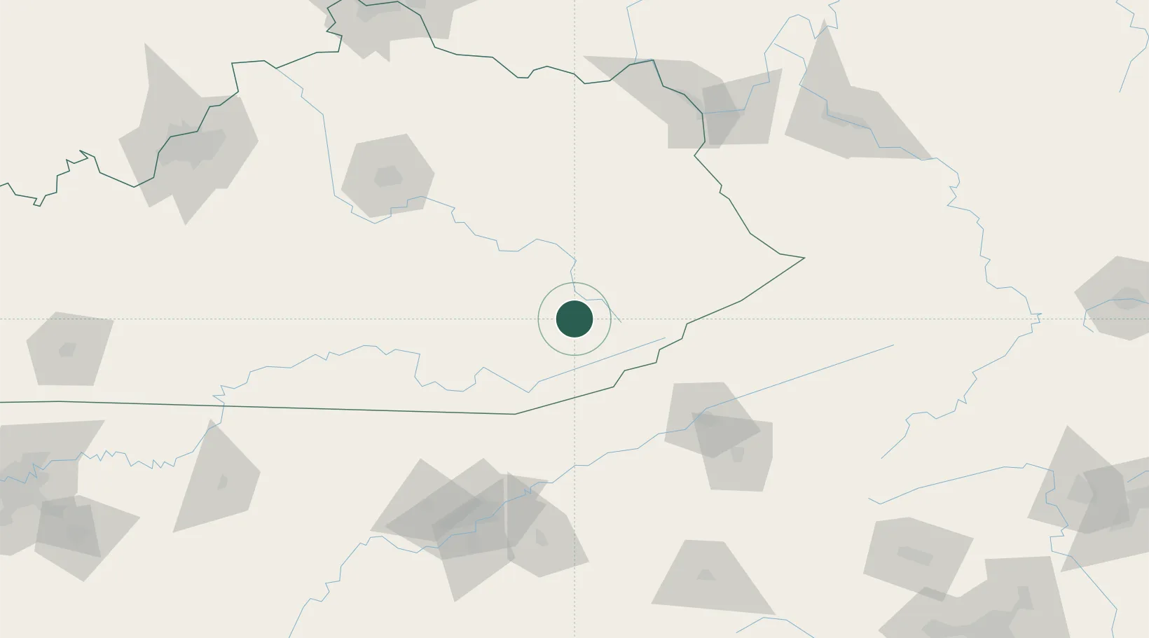
Hub Profile
Place type
Provincial seat
Region
Kentucky
Population
351
Time zone
America/New_York
Elevation
281 m
Location
Nearby Logistics Neighbours
Cities
- 1Chavies20 km
- 2Manchester34 km
- 3Cumberland41 km
- 4Jackson43 km
- 5Barbourville58 km
Ports
- 1Huron476 km
- 2Sandusky480 km
- 3Vermilion482 km
- 4Port Clinton485 km
- 5Lorain489 km
Airports
Trade Zones
- 1FTZ No. 204 Tri-Cities114 km
- 2FTZ No. 148 Knoxville152 km
- 3FTZ No. 229 Charleston196 km
- 4FTZ No. 238 Dublin237 km
- 5FTZ No. 046 CIncinnati237 km
DatabookThe Record of Consolidated Knowledge
United States beyond logistics?