Transport Functions
Rail
Road
Hub Profile
Place type
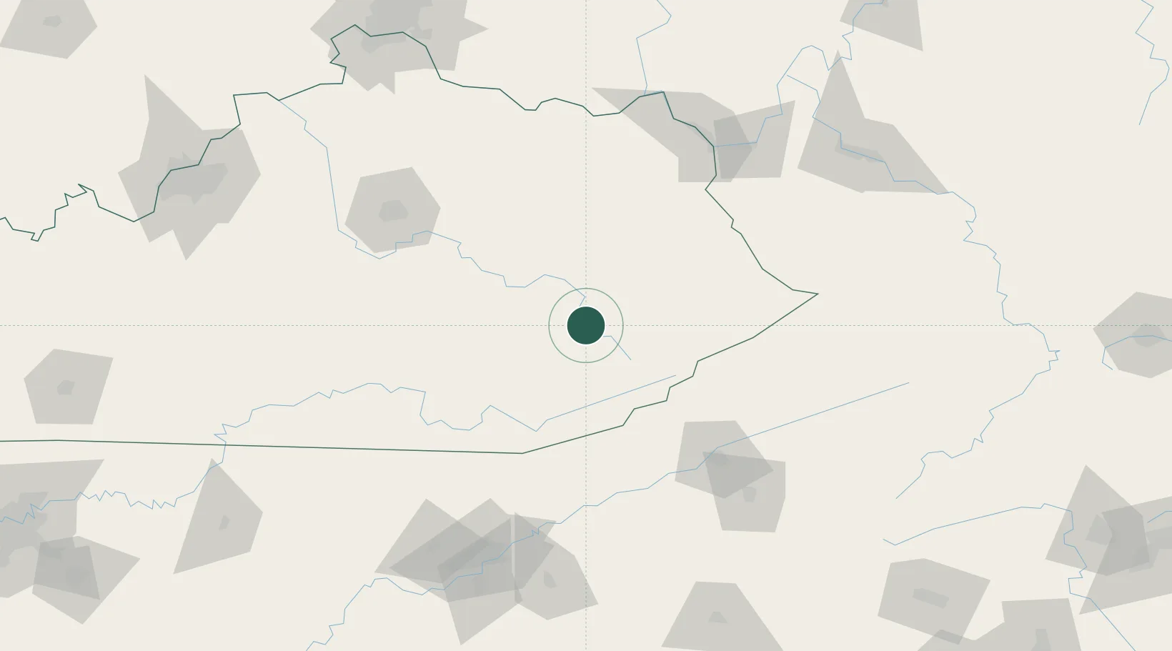
Populated place
Region
Kentucky
Time zone
America/New_York
Elevation
244 m
Location
Nearby Logistics Neighbours
Cities
- 1Hyden20 km
- 2Jackson22 km
- 3Manchester42 km
- 4Hazel Green49 km
- 5Salyersville51 km
Ports
- 1Huron456 km
- 2Sandusky459 km
- 3Vermilion462 km
- 4Port Clinton465 km
- 5Lorain469 km
Airports
Trade Zones
- 1FTZ No. 204 Tri-Cities128 km
- 2FTZ No. 148 Knoxville170 km
- 3FTZ No. 229 Charleston181 km
- 4FTZ No. 046 CIncinnati220 km
- 5FTZ No. 047 Boone County224 km
DatabookThe Record of Consolidated Knowledge
United States beyond logistics?