Transport Functions
Road
Multimodal
Hub Profile
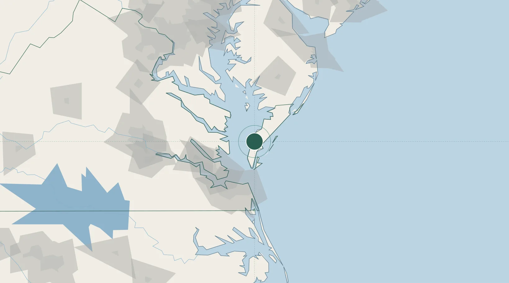
Place type
Populated place
Region
Virginia
Time zone
America/New_York
Elevation
7 m
Location
Nearby Logistics Neighbours
Cities
- 1New Point36 km
- 2Cobbs Creek41 km
- 3Bloxom44 km
- 4Nelsonia46 km
- 5Locust Hill, Middlesex54 km
Ports
- 1Cape Charles27 km
- 2Yorktown60 km
- 3Newport News75 km
- 4West Point78 km
- 5Norfolk80 km
Airports
Trade Zones
- 1FTZ No. 020 Suffolk87 km
- 2FTZ No. 207 Richmond145 km
- 3FTZ No. 063 PrInce Georges County184 km
- 4FTZ No. 073 BWI Airport198 km
- 5FTZ No. 074 Baltimore206 km
DatabookThe Record of Consolidated Knowledge
United States beyond logistics?