Transport Functions
Port
Rail
Road
Hub Profile
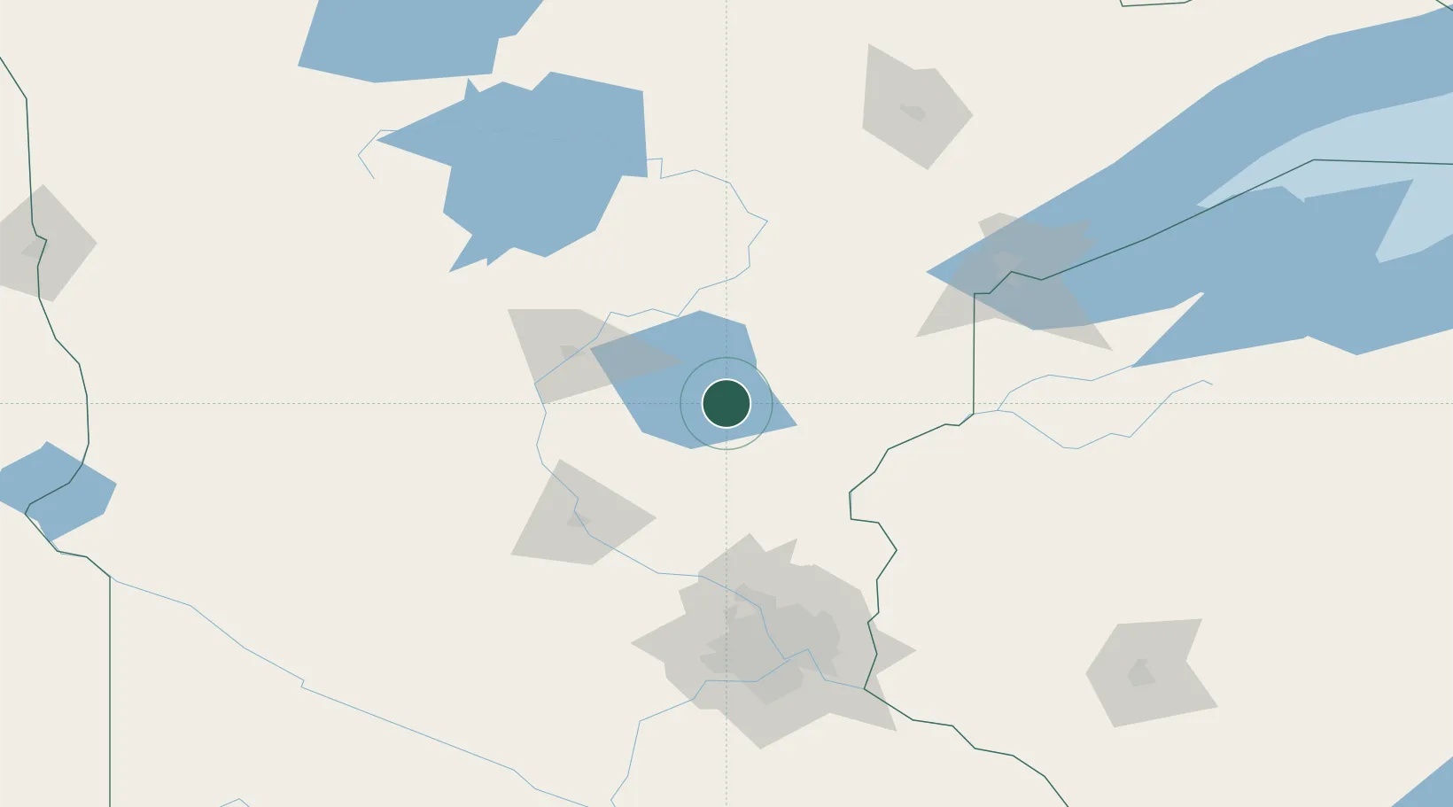
Place type
Populated place
Region
Minnesota
Population
788
Time zone
America/Chicago
Elevation
389 m
Location
Nearby Logistics Neighbours
Ports
- 1Duluth127 km
- 2Superior127 km
- 3Two Harbors171 km
- 4Ashland207 km
- 5Washburn208 km
Airports
Trade Zones
- 1FTZ No. 051 Duluth118 km
- 2FTZ No. 119 Minneapolis-St. Paul131 km
- 3FTZ No. 259 Koochiching County247 km
- 4FTZ No. 267 Fargo279 km
- 5FTZ No. 103 Grand Forks343 km
DatabookThe Record of Consolidated Knowledge
United States beyond logistics?