UN/LOCODE hub · United States
USZCU
Cumberland
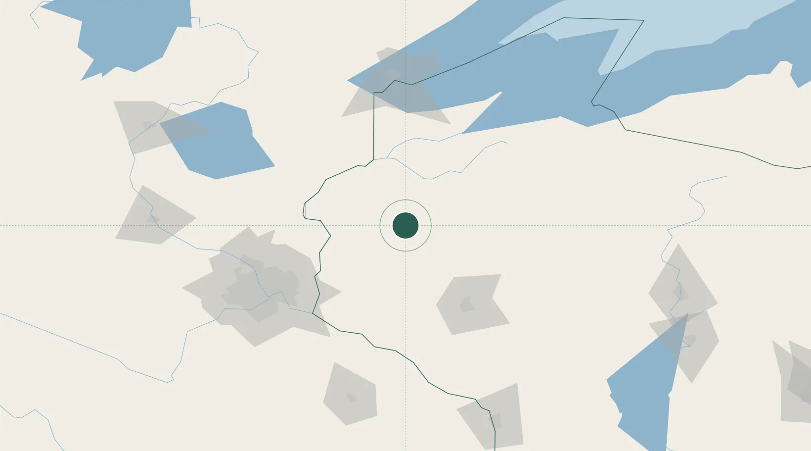
45.5167°, -92.0167°
2,146
Population
3
Transport functions
Transport Functions
Rail
Road
Multimodal
Hub Profile
Place type
Populated place
Region
Wisconsin
Population
2,146
Time zone
America/Chicago
Elevation
379 m
Location
Nearby Logistics Neighbours
Cities
- 1Turtle Lake16 km
- 2Cameron24 km
- 3Chetek36 km
- 4Birchwood40 km
- 5Siren40 km
Ports
- 1Superior135 km
- 2Duluth139 km
- 3Ashland150 km
- 4Washburn155 km
- 5Two Harbors169 km
Airports
Trade Zones
- 1FTZ No. 119 Minneapolis-St. Paul113 km
- 2FTZ No. 051 Duluth140 km
- 3FTZ No. 167 Brown County316 km
- 4FTZ No. 266 Dane County329 km
- 5FTZ No. 259 Koochiching County353 km
DatabookThe Record of Consolidated Knowledge
United States beyond logistics?