UN/LOCODE hub · United States
USHV2
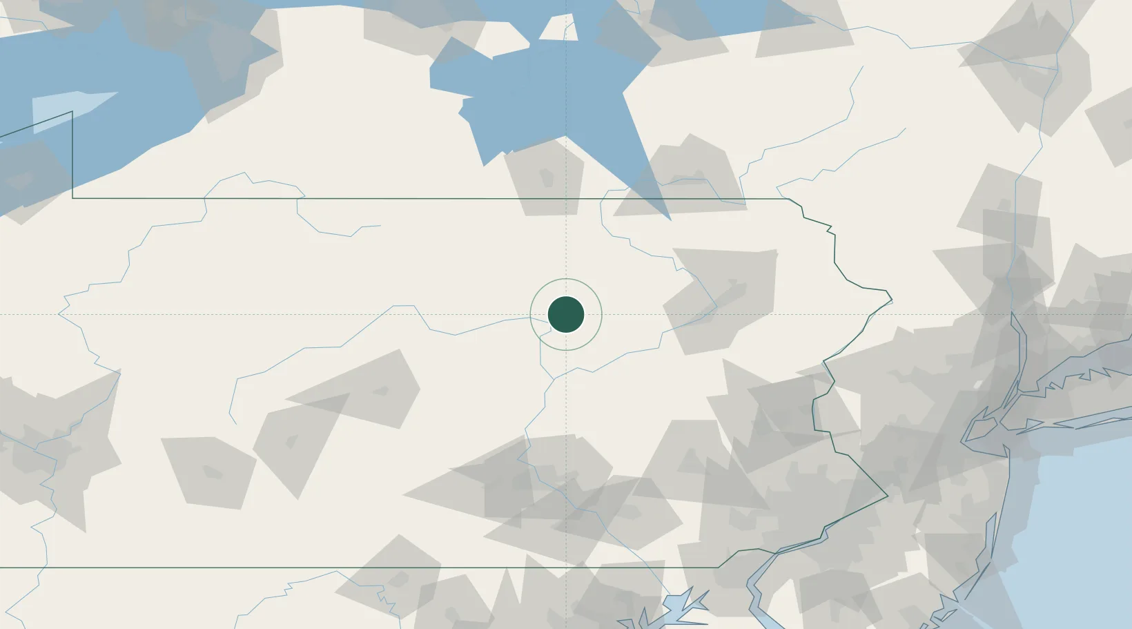
Hughesville
41.2833°, -76.7167°
2,099
Population
3
Transport functions
Transport Functions
Port
Road
Multimodal
Hub Profile
Place type
Populated place
Region
Pennsylvania
Population
2,099
Time zone
America/New_York
Elevation
177 m
Location
Nearby Logistics Neighbours
Cities
- 1Montgomery18 km
- 2South Willamsport24 km
- 3Watsontown25 km
- 4Allenwood26 km
- 5Waterville30 km
Ports
- 1Marcus Hook197 km
- 2Chester197 km
- 3Wilmington199 km
- 4Philadelphia200 km
- 5Camden200 km
Airports
Trade Zones
DatabookThe Record of Consolidated Knowledge
United States beyond logistics?