UN/LOCODE hub · United States
USQMG
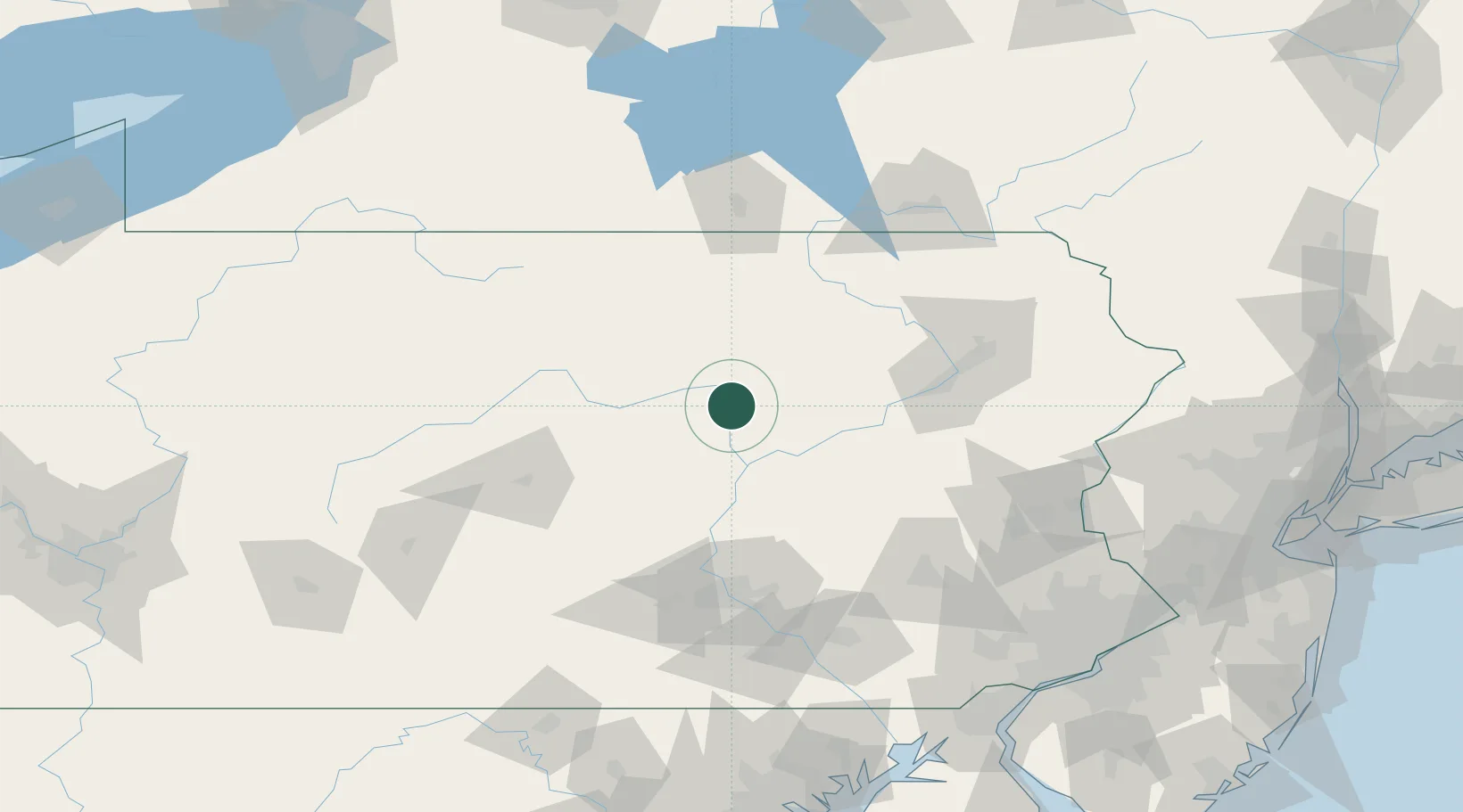
Montgomery
41.1667°, -76.8667°
1,558
Population
3
Transport functions
Transport Functions
Rail
Road
Multimodal
Hub Profile
Place type
Populated place
Region
Pennsylvania
Population
1,558
Time zone
America/New_York
Elevation
155 m
Location
Nearby Logistics Neighbours
Cities
- 1Allenwood8 km
- 2Watsontown9 km
- 3South Willamsport13 km
- 4New Columbia15 km
- 5Hughesville18 km
Ports
- 1Havre De Grace193 km
- 2Marcus Hook194 km
- 3Wilmington195 km
- 4Chester195 km
- 5Deepwater Point199 km
Airports
Trade Zones
DatabookThe Record of Consolidated Knowledge
United States beyond logistics?