UN/LOCODE hub · United States
USBB2
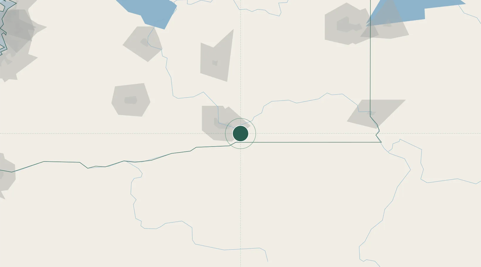
Burbank
46.1281°, -118.9305°
3,291
Population
2
Transport functions
Transport Functions
Road
Multimodal
Hub Profile
Place type
Populated place
Region
Washington
Population
3,291
Time zone
America/Los_Angeles
Elevation
114 m
Logistics facilities
1
Location
Nearby Logistics Neighbours
Cities
- 1Villard Junction7 km
- 2Tri-Cities20 km
- 3Lowden28 km
- 4Benton City45 km
- 5Athena50 km
Ports
- 1The Dalles184 km
- 2Washougal272 km
- 3Camas275 km
- 4Tacoma295 km
- 5Vancouver296 km
Airports
Trade Zones
- 1FTZ No. 203 Moses Lake116 km
- 2FTZ No. 224 Spokane204 km
- 3FTZ No. 086 Tacoma294 km
- 4FTZ No. 296 Vancouver296 km
- 5FTZ No. 212 Tacoma301 km
DatabookThe Record of Consolidated Knowledge
United States beyond logistics?