Transport Functions
Port
Rail
Road
Multimodal
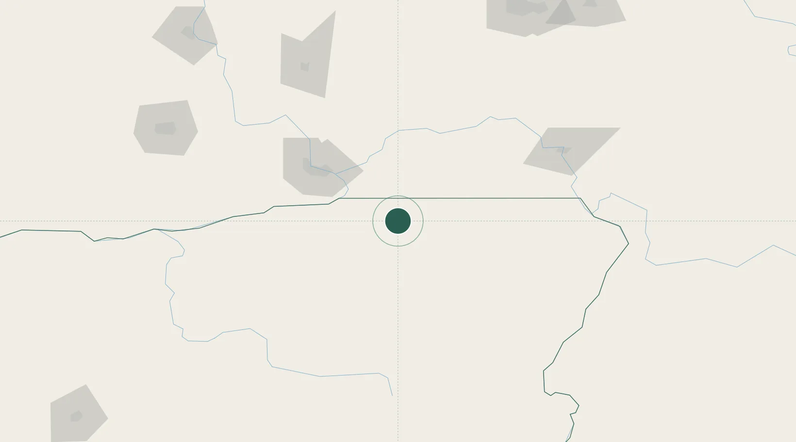
Hub Profile
Place type
Populated place
Region
Oregon
Population
1,140
Time zone
America/Los_Angeles
Elevation
526 m
Location
Nearby Logistics Neighbours
Cities
- 1Lowden29 km
- 2Burbank50 km
- 3Waitsburg56 km
- 4Imbler57 km
- 5Villard Junction57 km
Ports
- 1The Dalles211 km
- 2Washougal301 km
- 3Camas305 km
- 4Vancouver327 km
- 5Portland327 km
Airports
Trade Zones
- 1FTZ No. 203 Moses Lake162 km
- 2FTZ No. 224 Spokane222 km
- 3FTZ No. 280 Ada and Canyon Counties280 km
- 4FTZ No. 296 Vancouver327 km
- 5FTZ No. 045 Portland336 km
DatabookThe Record of Consolidated Knowledge
United States beyond logistics?