Transport Functions
Port
Road
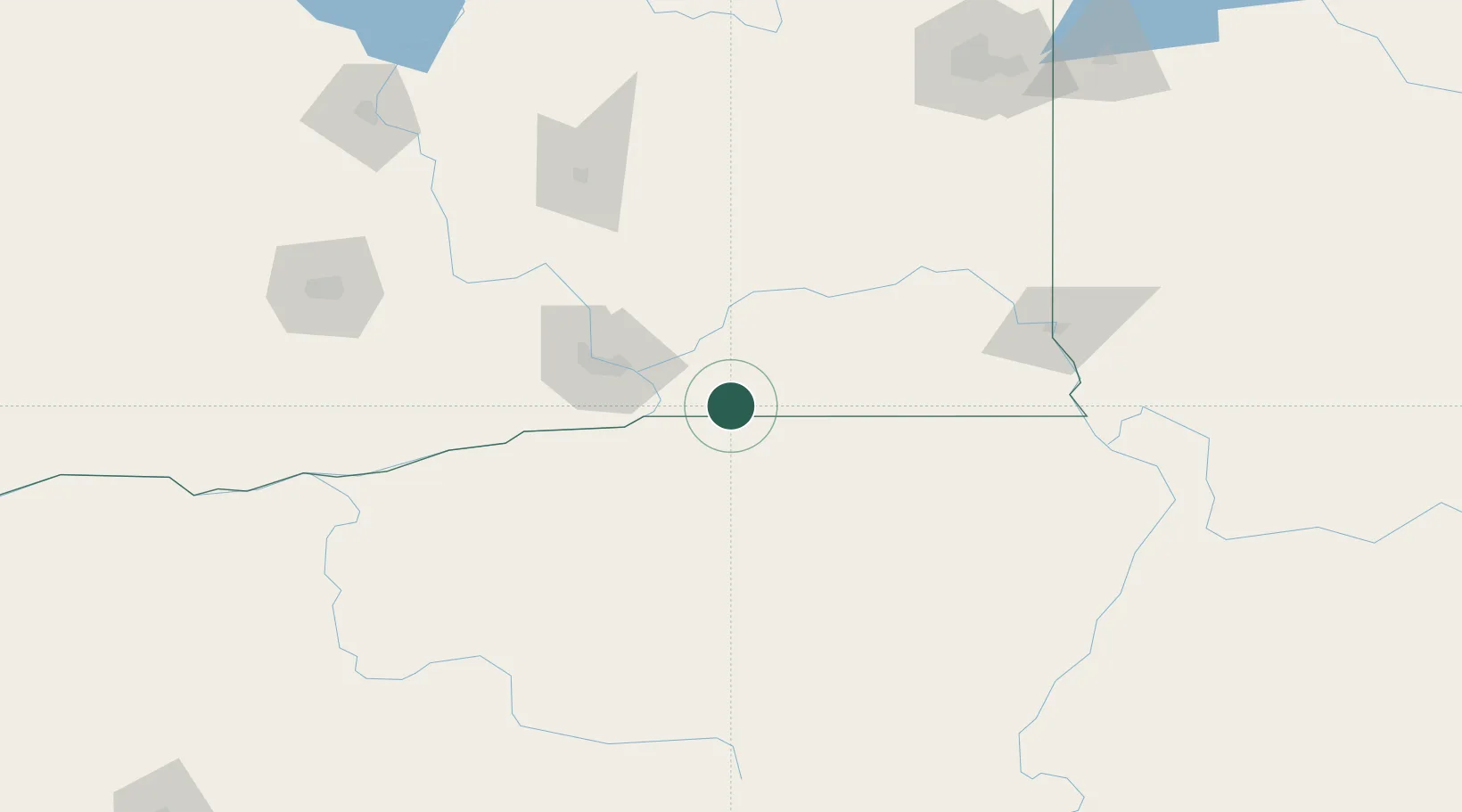
Hub Profile
Place type
Populated place
Region
Washington
Time zone
America/Los_Angeles
Elevation
150 m
Location
Nearby Logistics Neighbours
Cities
- 1Burbank28 km
- 2Athena29 km
- 3Villard Junction35 km
- 4Waitsburg40 km
- 5Tri-Cities47 km
Ports
- 1The Dalles208 km
- 2Washougal297 km
- 3Camas300 km
- 4Vancouver321 km
- 5Portland322 km
Airports
Trade Zones
- 1FTZ No. 203 Moses Lake133 km
- 2FTZ No. 224 Spokane199 km
- 3FTZ No. 280 Ada and Canyon Counties308 km
- 4FTZ No. 296 Vancouver321 km
- 5FTZ No. 086 Tacoma322 km
DatabookThe Record of Consolidated Knowledge
United States beyond logistics?