Transport Functions
Port
Rail
Road
Hub Profile
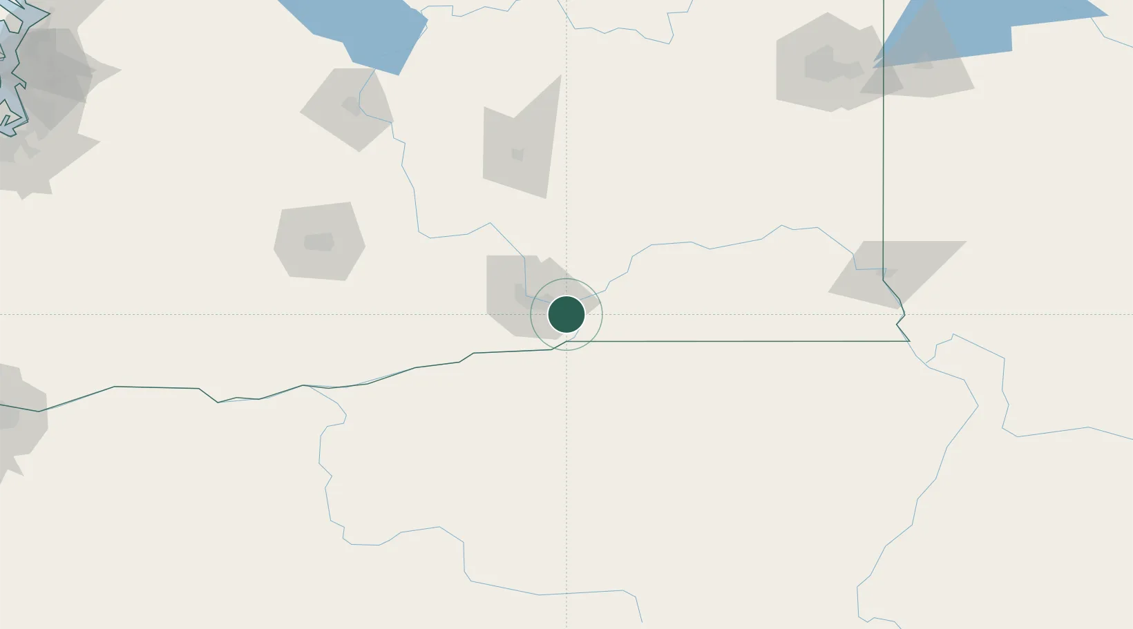
Place type
Populated place
Region
Washington
Time zone
America/Los_Angeles
Elevation
120 m
Location
Nearby Logistics Neighbours
Cities
- 1Burbank7 km
- 2Tri-Cities13 km
- 3Lowden35 km
- 4Benton City38 km
- 5Irrigon49 km
Ports
- 1The Dalles180 km
- 2Washougal267 km
- 3Camas271 km
- 4Tacoma289 km
- 5Vancouver291 km
Airports
Trade Zones
- 1FTZ No. 203 Moses Lake110 km
- 2FTZ No. 224 Spokane203 km
- 3FTZ No. 086 Tacoma287 km
- 4FTZ No. 296 Vancouver291 km
- 5FTZ No. 212 Tacoma295 km
DatabookThe Record of Consolidated Knowledge
United States beyond logistics?