UN/LOCODE hub · United States
USZBA
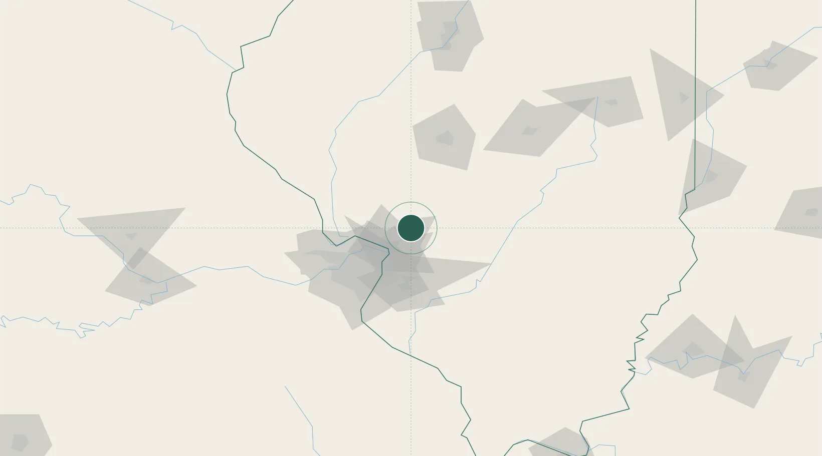
Bunker Hill
39.0333°, -89.9500°
1,716
Population
1
Transport functions
Transport Functions
Port
Hub Profile
Place type
Populated place
Region
Illinois
Population
1,716
Time zone
America/Chicago
Elevation
202 m
Location
Nearby Logistics Neighbours
Cities
- 1Staunton15 km
- 2Worden15 km
- 3Hamel20 km
- 4South Roxana26 km
- 5Carlinville28 km
Ports
- 1Indiana Harbor362 km
- 2Gary363 km
- 3Calumet Harbor364 km
- 4Chicago374 km
- 5Wilmette389 km
Airports
Trade Zones
- 1FTZ No. 031 Granite City39 km
- 2FTZ No. 102 St. Louis County79 km
- 3FTZ No. 245 Decatur119 km
- 4FTZ No. 114 Peoria187 km
- 5FTZ No. 055 Burlington221 km
DatabookThe Record of Consolidated Knowledge
United States beyond logistics?