UN/LOCODE hub · United States
USVCN
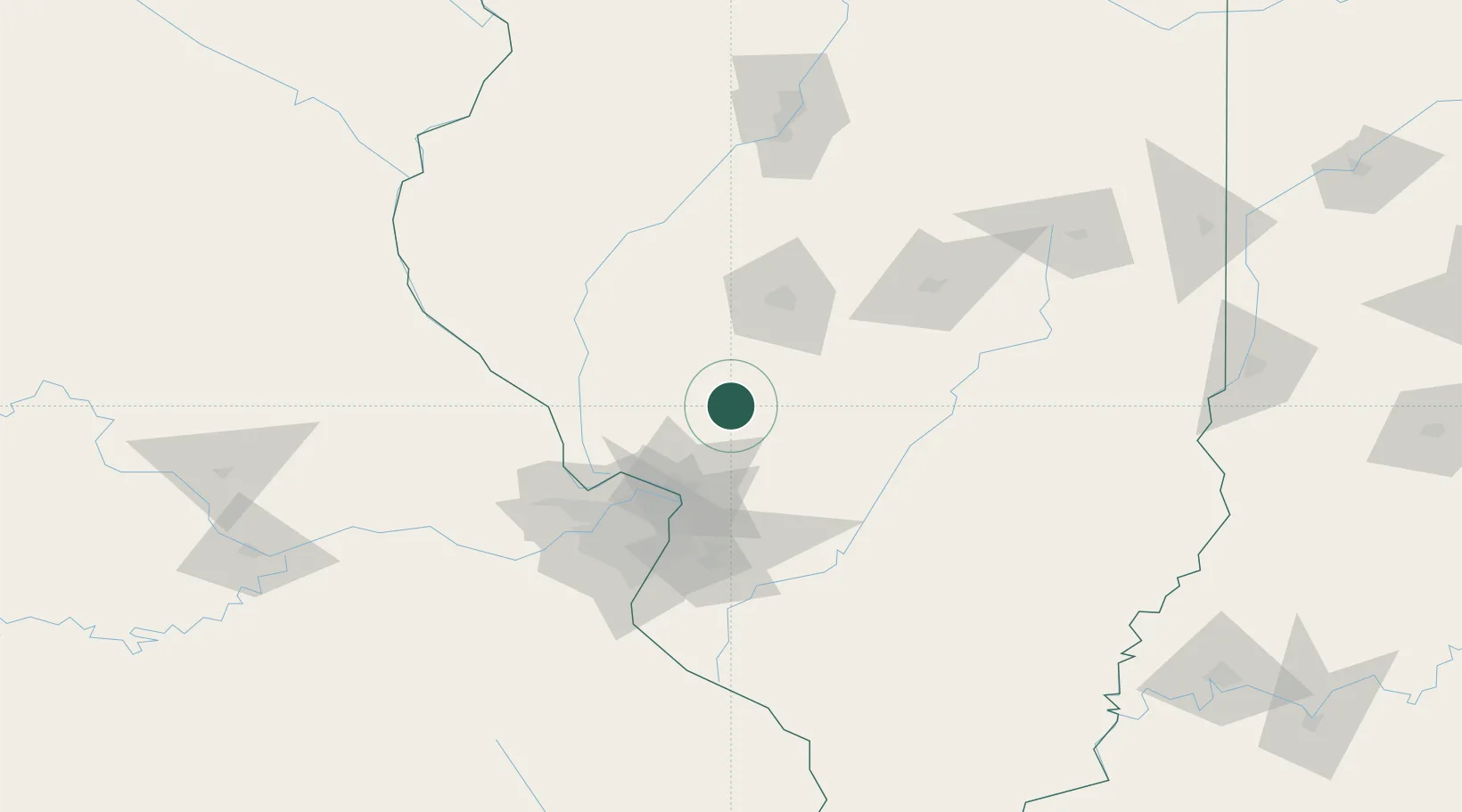
Carlinville
39.2833°, -89.9000°
5,665
Population
2
Transport functions
Transport Functions
Road
Multimodal
Hub Profile
Place type
Provincial seat
Region
Illinois
Population
5,665
Time zone
America/Chicago
Elevation
191 m
Location
Nearby Logistics Neighbours
Cities
- 1Girard20 km
- 2Bunker Hill28 km
- 3Lemmon29 km
- 4Staunton33 km
- 5Auburn38 km
Ports
- 1Indiana Harbor337 km
- 2Gary338 km
- 3Calumet Harbor339 km
- 4Chicago348 km
- 5Wilmette363 km
Airports
Trade Zones
- 1FTZ No. 031 Granite City66 km
- 2FTZ No. 245 Decatur96 km
- 3FTZ No. 102 St. Louis County100 km
- 4FTZ No. 114 Peoria159 km
- 5FTZ No. 055 Burlington198 km
DatabookThe Record of Consolidated Knowledge
United States beyond logistics?