Transport Functions
Multimodal
Hub Profile
Place type
Populated place
Region
Illinois
Population
1,137
Time zone
America/Chicago
Elevation
248 m
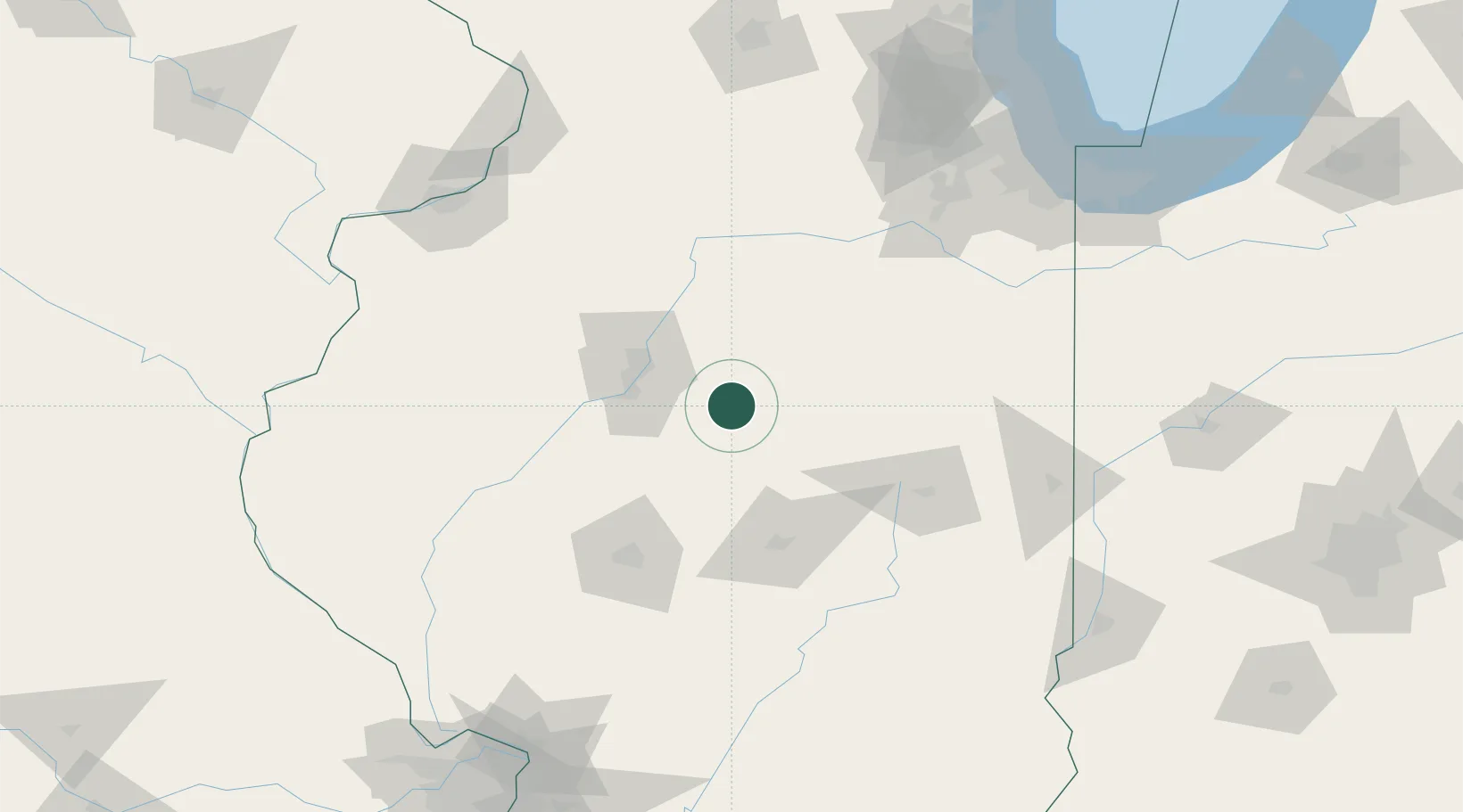
Location
Nearby Logistics Neighbours
Cities
- 1Goodfield16 km
- 2Washington28 km
- 3Heyworth29 km
- 4Metamora33 km
- 5Peoria Heights42 km
Ports
- 1Calumet Harbor193 km
- 2Indiana Harbor194 km
- 3Gary196 km
- 4Chicago201 km
- 5Wilmette214 km
Airports
Trade Zones
- 1FTZ No. 114 Peoria41 km
- 2FTZ No. 245 Decatur74 km
- 3FTZ No. 055 Burlington166 km
- 4FTZ No. 022 Chicago182 km
- 5FTZ No. 176 Rockford193 km
DatabookThe Record of Consolidated Knowledge
United States beyond logistics?