Transport Functions
Rail
Road
Multimodal
Hub Profile
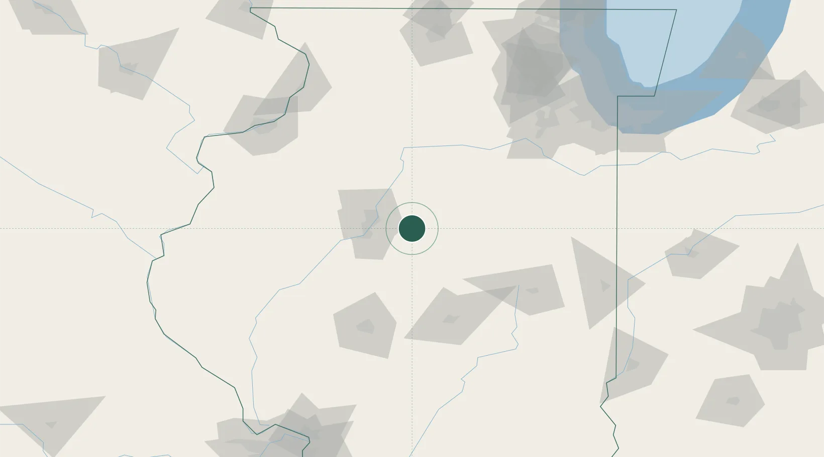
Place type
Populated place
Region
Illinois
Population
945
Time zone
America/Chicago
Elevation
226 m
Location
Nearby Logistics Neighbours
Cities
- 1Washington14 km
- 2Danvers16 km
- 3Metamora18 km
- 4Peoria Heights28 km
- 5Washburn32 km
Ports
- 1Calumet Harbor191 km
- 2Indiana Harbor192 km
- 3Gary195 km
- 4Chicago197 km
- 5Wilmette209 km
Airports
Trade Zones
- 1FTZ No. 114 Peoria28 km
- 2FTZ No. 245 Decatur88 km
- 3FTZ No. 055 Burlington156 km
- 4FTZ No. 022 Chicago177 km
- 5FTZ No. 176 Rockford180 km
DatabookThe Record of Consolidated Knowledge
United States beyond logistics?