UN/LOCODE hub · United States
USBBZ
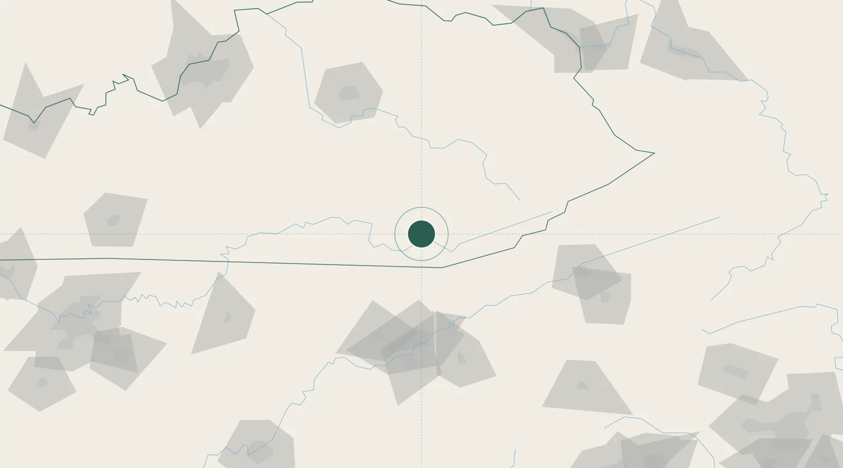
Barbourville
36.8667°, -83.9000°
3,174
Population
2
Transport functions
Transport Functions
Rail
Road
Hub Profile
Place type
Provincial seat
Region
Kentucky
Population
3,174
Time zone
America/New_York
Elevation
299 m
Location
Nearby Logistics Neighbours
Cities
- 1Gray12 km
- 2Manchester34 km
- 3Jellico38 km
- 4East Bernstadt40 km
- 5Newcomb43 km
Ports
- 1Huron517 km
- 2Sandusky520 km
- 3Port Clinton524 km
- 4Vermilion525 km
- 5Lorain532 km
Airports
Trade Zones
- 1FTZ No. 148 Knoxville102 km
- 2FTZ No. 204 Tri-Cities140 km
- 3FTZ No. 029 Louisville229 km
- 4FTZ No. 134 Chattanooga237 km
- 5FTZ No. 047 Boone County249 km
DatabookThe Record of Consolidated Knowledge
United States beyond logistics?