Transport Functions
Road
Multimodal
Hub Profile
Place type
Populated place
Region
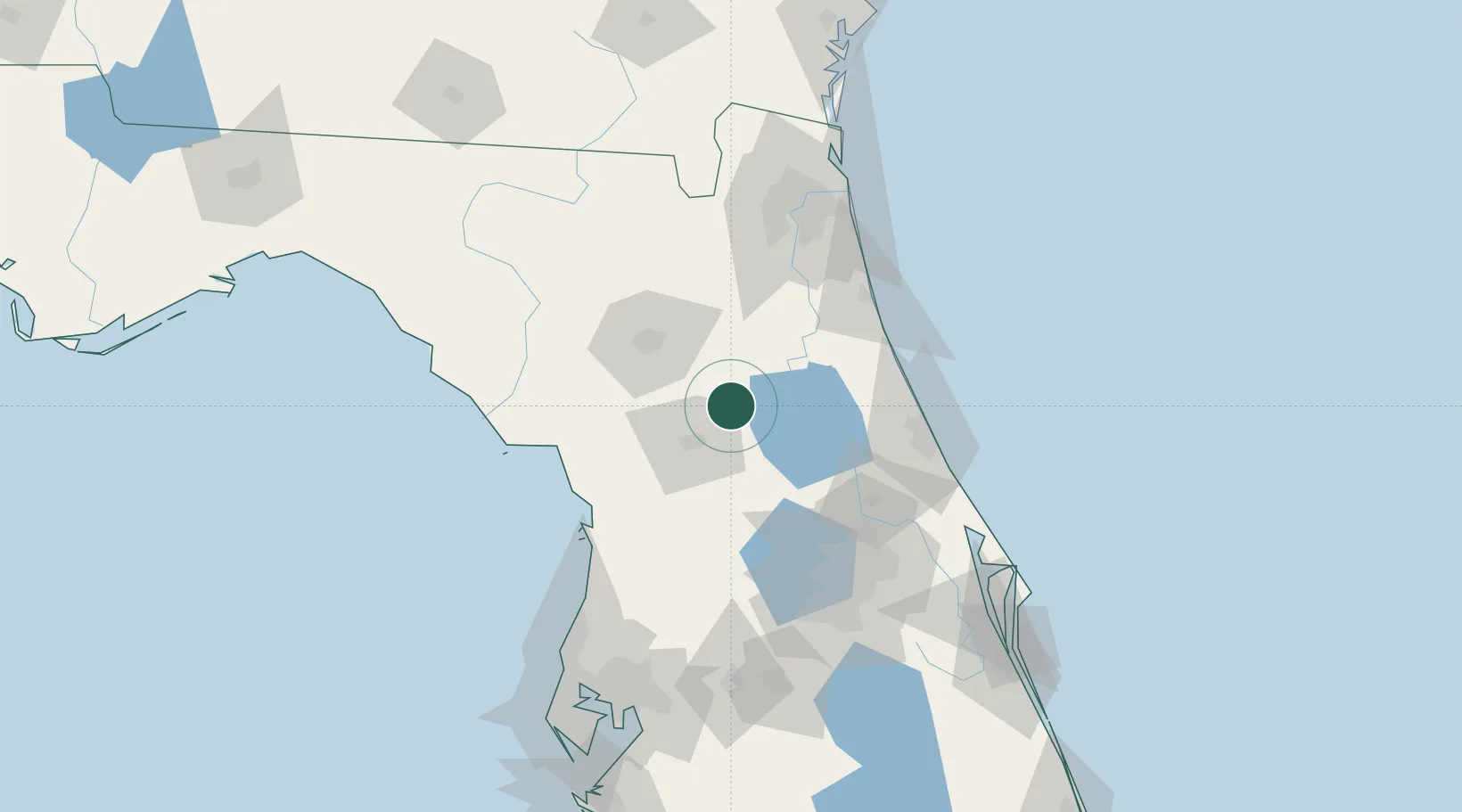
Florida
Time zone
America/New_York
Elevation
24 m
Location
Nearby Logistics Neighbours
Cities
- 1Edgar25 km
- 2Hollister32 km
- 3Candler33 km
- 4Belleview34 km
- 5Summerfield40 km
Ports
- 1St Augustine86 km
- 2Jacksonville110 km
- 3Mayport126 km
- 4Canaveral Harbor151 km
- 5Fernandina Beach154 km
Airports
Trade Zones
- 1FTZ No. 198 Volusia County63 km
- 2FTZ No. 250 Seminole County91 km
- 3FTZ No. 042 Orlando108 km
- 4FTZ No. 064 Jacksonville109 km
- 5FTZ No. 136 Brevard County137 km
DatabookThe Record of Consolidated Knowledge
United States beyond logistics?