Transport Functions
Road
Multimodal
Hub Profile
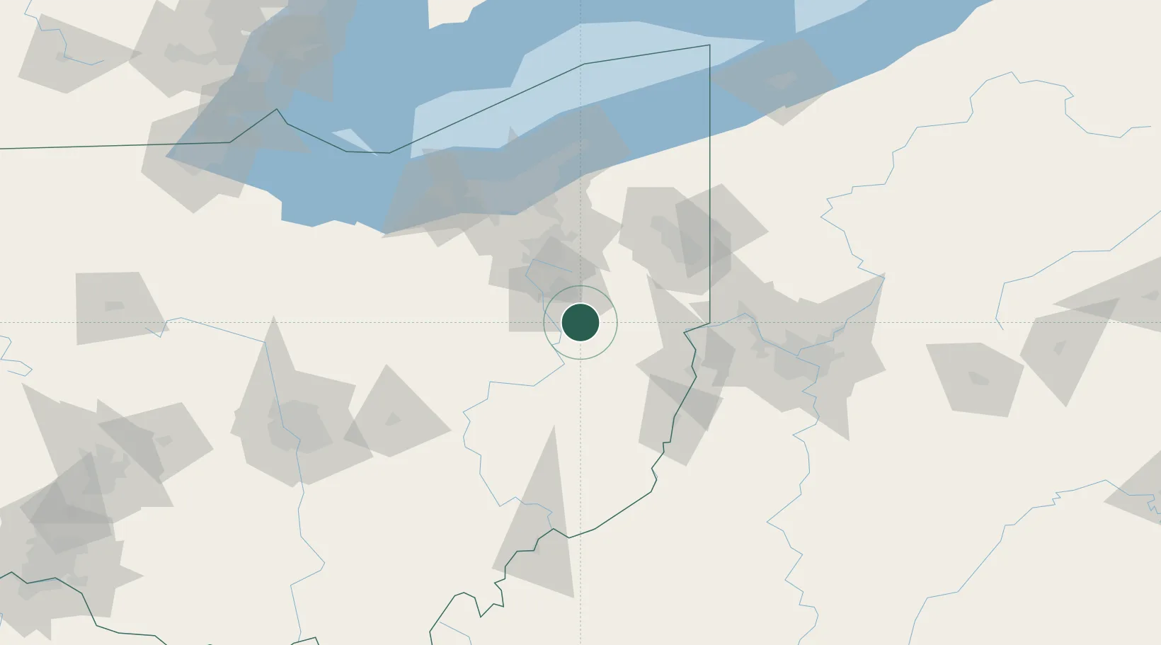
Place type
Populated place
Region
Ohio
Population
973
Time zone
America/New_York
Elevation
289 m
Location
Nearby Logistics Neighbours
Cities
- 1Mineral City8 km
- 2East Canton15 km
- 3Navarre20 km
- 4Beach City24 km
- 5Midvale25 km
Airports
Trade Zones
- 1FTZ No. 181 Akron Canton50 km
- 2FTZ No. 040 Cleveland105 km
- 3FTZ No. 033 Pittsburgh108 km
- 4FTZ No. 138 Franklin County167 km
- 5FTZ No. 247 Erie191 km
DatabookThe Record of Consolidated Knowledge
United States beyond logistics?