UN/LOCODE hub · United States
USXNW
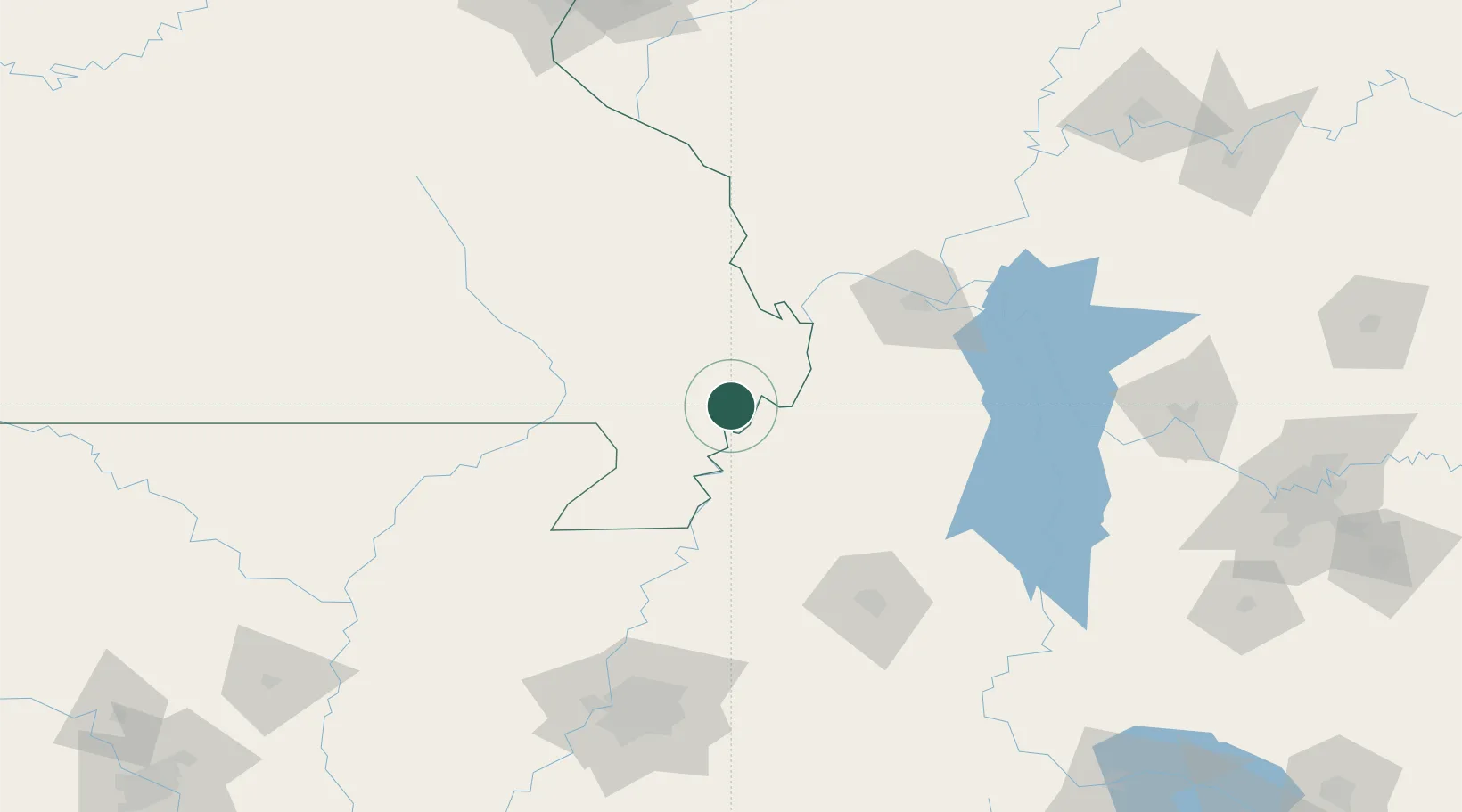
New Madrid
36.5833°, -89.5167°
3,011
Population
3
Transport functions
Transport Functions
Port
Road
Multimodal
Hub Profile
Place type
Provincial seat
Region
Missouri
Population
3,011
Time zone
America/Chicago
Elevation
90 m
Location
Nearby Logistics Neighbours
Cities
- 1Matthews20 km
- 2Holly Springs, Marshall23 km
- 3Portageville24 km
- 4Parma27 km
- 5Hickman30 km
Ports
- 1Port Of Memphis179 km
- 2Gary591 km
- 3Indiana Harbor593 km
- 4Calumet Harbor598 km
- 5Chicago612 km
Airports
Trade Zones
- 1FTZ No. 283 West Tennessee94 km
- 2FTZ No. 294 Western Kentucky99 km
- 3FTZ No. 223 Memphis170 km
- 4FTZ No. 273 West Memphis171 km
- 5FTZ No. 077 Memphis175 km
DatabookThe Record of Consolidated Knowledge
United States beyond logistics?