Transport Functions
Rail
Road
Multimodal
Hub Profile
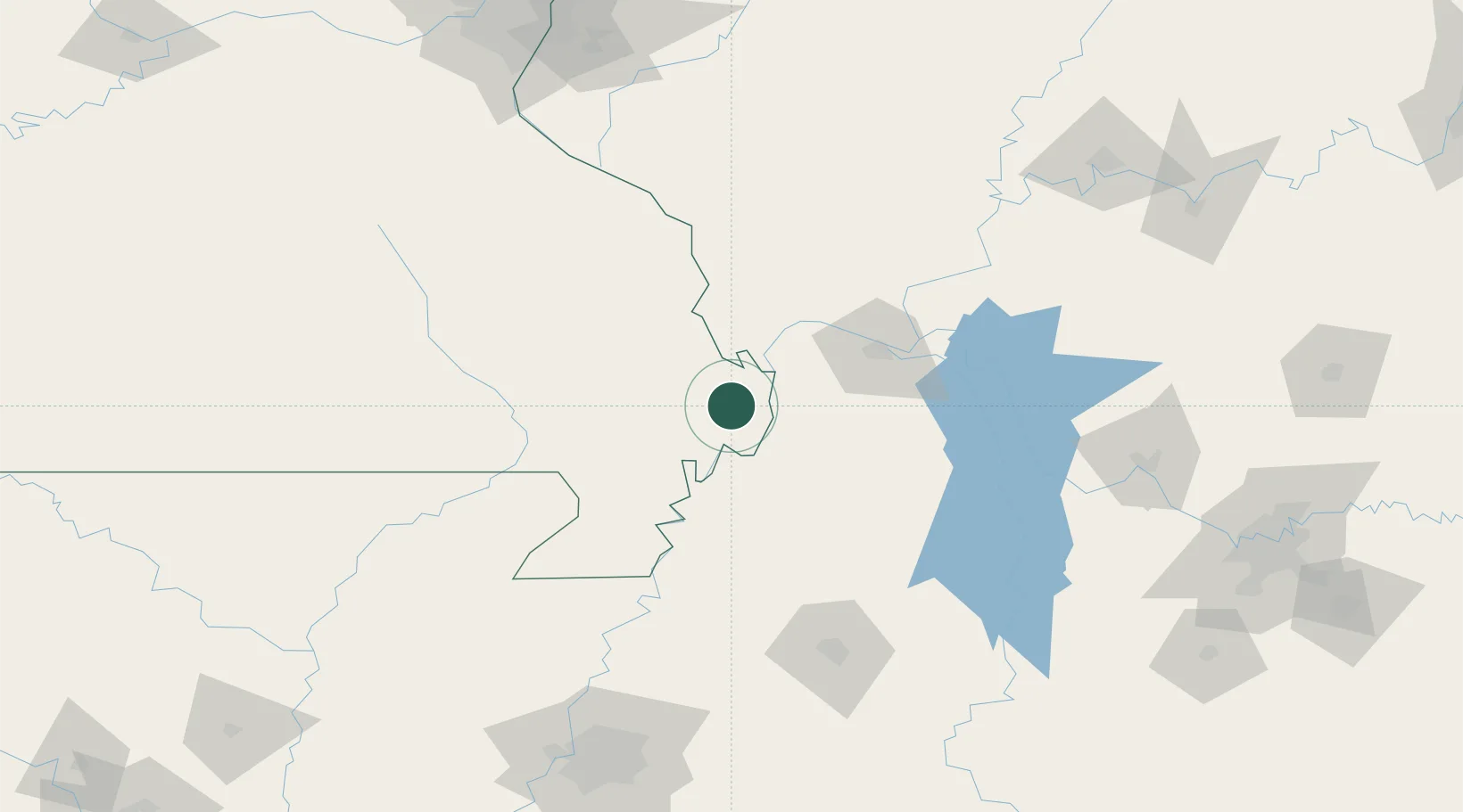
Place type
Populated place
Region
Missouri
Population
226
Time zone
America/Chicago
Elevation
95 m
Location
Nearby Logistics Neighbours
Cities
- 1Holly Springs, Marshall11 km
- 2Matthews24 km
- 3New Madrid31 km
- 4Hickman31 km
- 5Morehouse31 km
Ports
- 1Port Of Memphis209 km
- 2Gary561 km
- 3Indiana Harbor564 km
- 4Calumet Harbor569 km
- 5Chicago583 km
Airports
Trade Zones
- 1FTZ No. 294 Western Kentucky72 km
- 2FTZ No. 283 West Tennessee123 km
- 3FTZ No. 223 Memphis200 km
- 4FTZ No. 177 Evansville201 km
- 5FTZ No. 273 West Memphis201 km
DatabookThe Record of Consolidated Knowledge
United States beyond logistics?