Transport Functions
Rail
Road
Hub Profile
Place type
Populated place
Region
Arkansas
Population
4,480
Time zone
America/Chicago
Elevation
91 m
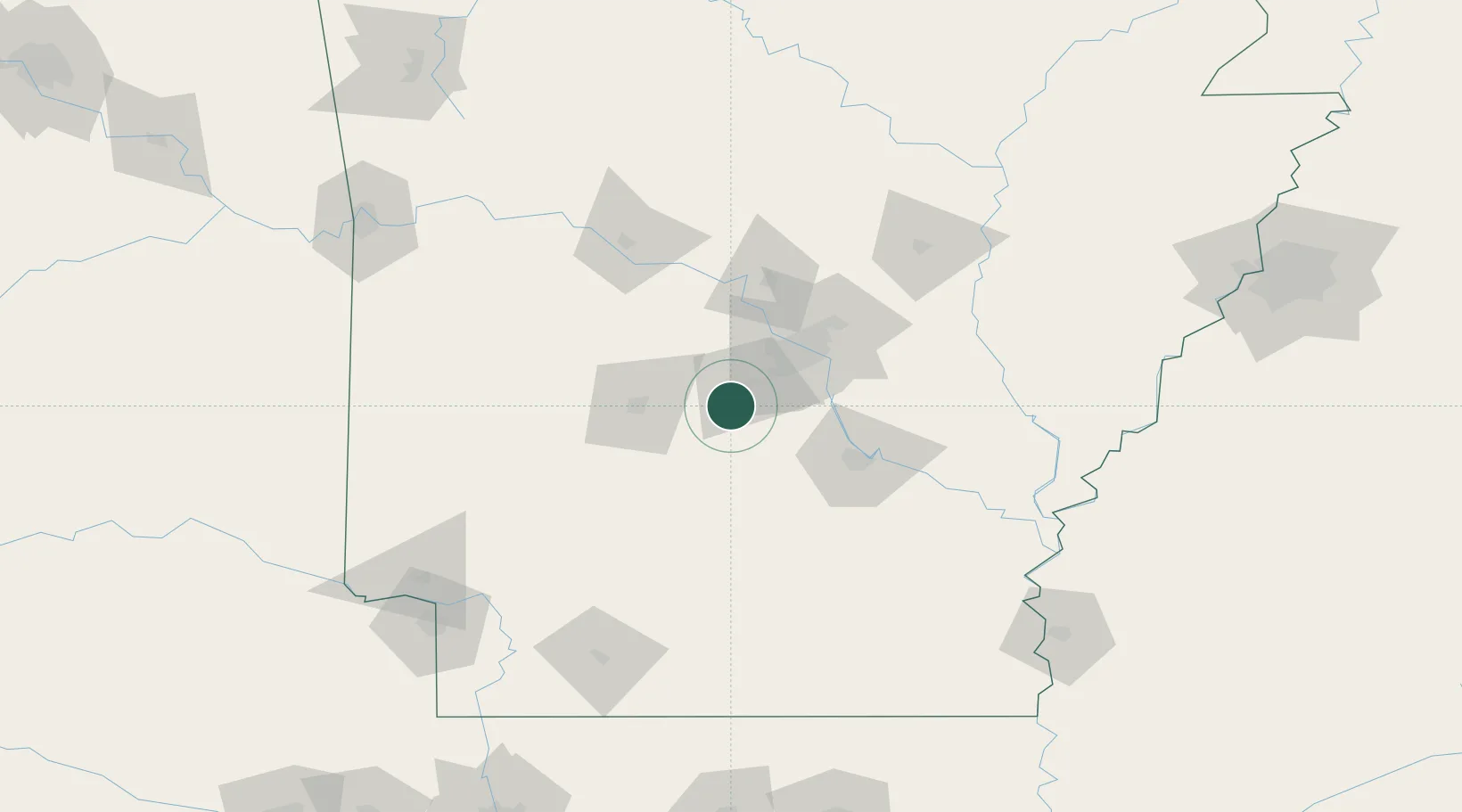
Location
Nearby Logistics Neighbours
Cities
- 1Byant17 km
- 2Malvern21 km
- 3Alexander22 km
- 4Forest Park24 km
- 5Jones Mill24 km
Ports
- 1Port Of Memphis234 km
- 2Baton Rouge470 km
- 3Lake Charles480 km
- 4Orange502 km
- 5Beaumont510 km
Airports
Trade Zones
- 1FTZ No. 014 Little Rock47 km
- 2FTZ No. 287 Tunica County180 km
- 3FTZ No. 258 Bowie County220 km
- 4FTZ No. 077 Memphis228 km
- 5FTZ No. 273 West Memphis234 km
DatabookThe Record of Consolidated Knowledge
United States beyond logistics?