Transport Functions
Multimodal
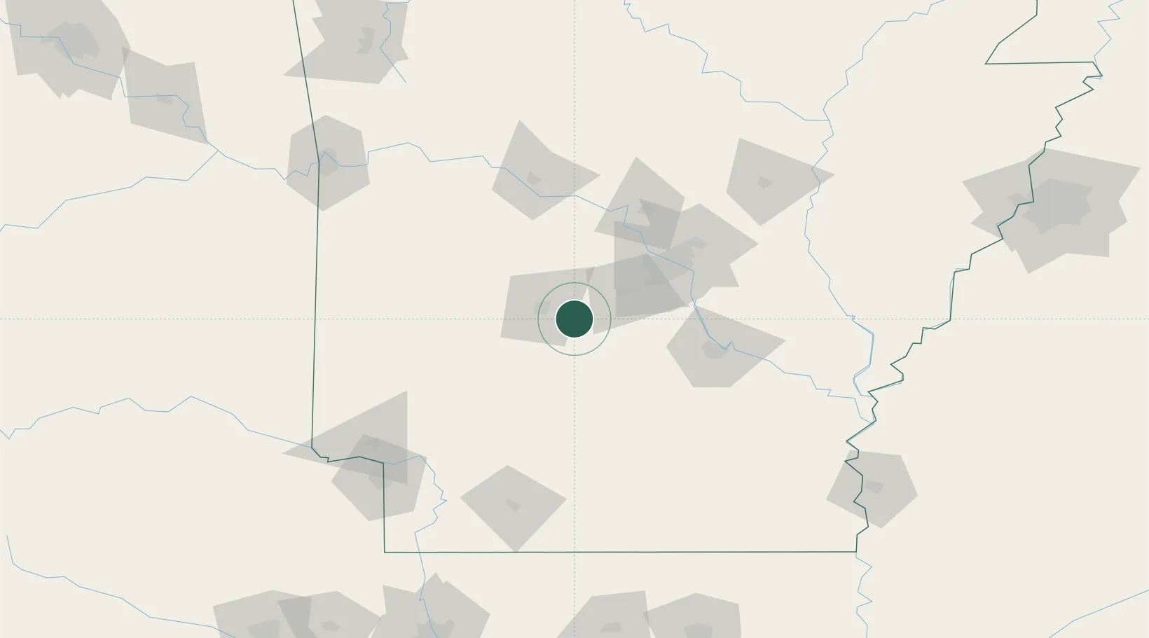
Hub Profile
Place type
Populated place
Region
Tennessee
Time zone
America/Chicago
Elevation
129 m
Location
Nearby Logistics Neighbours
Cities
- 1Malvern11 km
- 2Hot Springs National Park17 km
- 3Haskell24 km
- 4Bismarck30 km
- 5Royal33 km
Ports
- 1Port Of Memphis258 km
- 2Lake Charles470 km
- 3Baton Rouge471 km
- 4Orange490 km
- 5Beaumont497 km
Airports
Trade Zones
- 1FTZ No. 014 Little Rock71 km
- 2FTZ No. 258 Bowie County197 km
- 3FTZ No. 287 Tunica County204 km
- 4FTZ No. 145 Shreveport241 km
- 5FTZ No. 146 Lawrence County241 km
DatabookThe Record of Consolidated Knowledge
United States beyond logistics?