Transport Functions
Rail
Road
Hub Profile
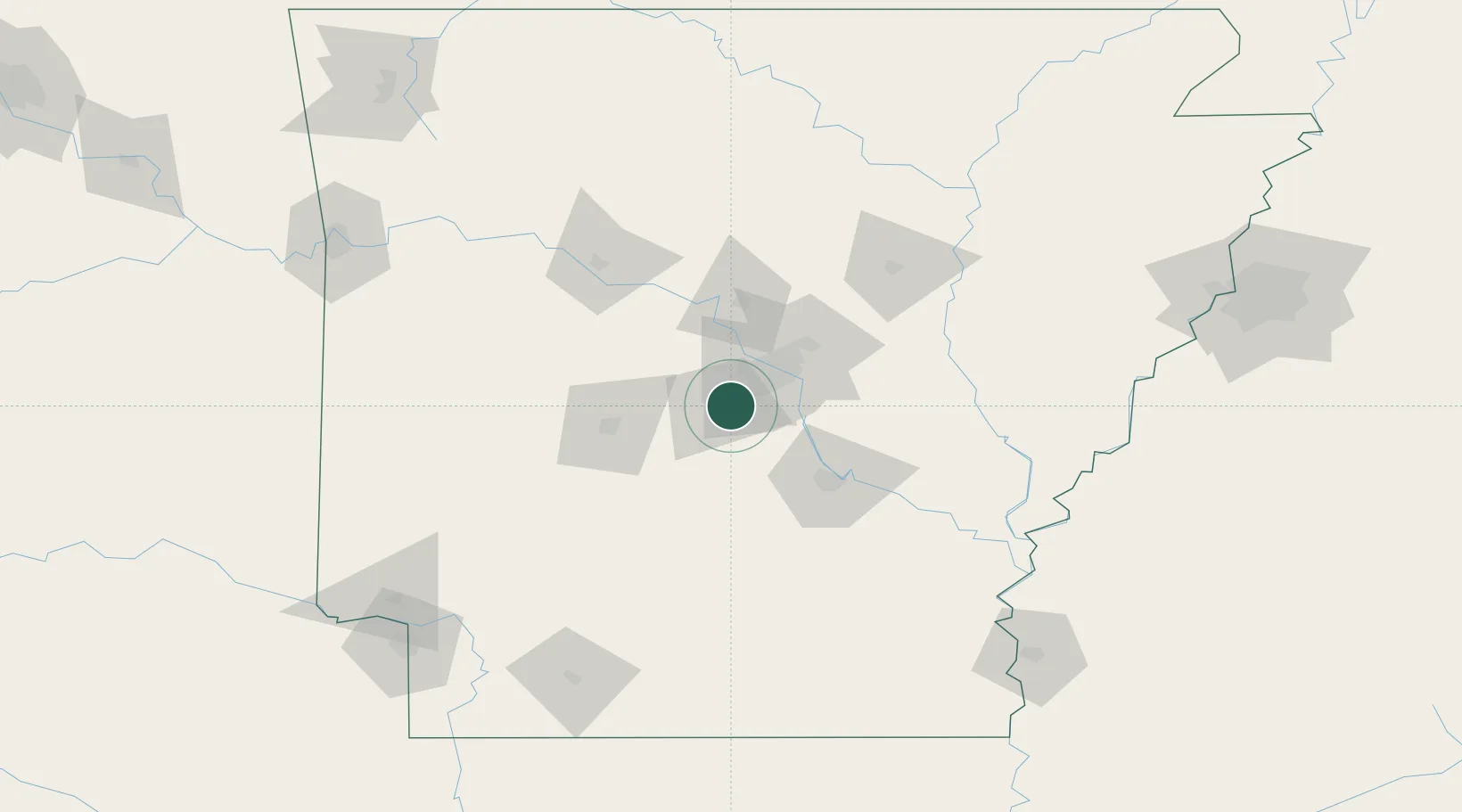
Region
AR
Location
Nearby Logistics Neighbours
Cities
- 1Alexander6 km
- 2Mabelvale12 km
- 3Haskell17 km
- 4Forest Park21 km
- 5Sherwood34 km
Ports
- 1Port Of Memphis219 km
- 2Baton Rouge478 km
- 3Lake Charles493 km
- 4Orange515 km
- 5Madisonville516 km
Airports
Trade Zones
- 1FTZ No. 014 Little Rock31 km
- 2FTZ No. 287 Tunica County167 km
- 3FTZ No. 077 Memphis213 km
- 4FTZ No. 273 West Memphis219 km
- 5FTZ No. 223 Memphis226 km
DatabookThe Record of Consolidated Knowledge
United States beyond logistics?