Transport Functions
Port
Multimodal
Hub Profile
Place type
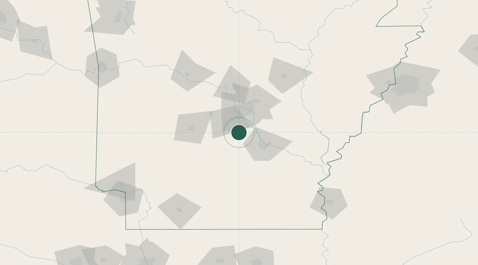
Populated place
Region
Louisiana
Time zone
America/Chicago
Elevation
33 m
Location
Nearby Logistics Neighbours
Ports
- 1Port Of Memphis214 km
- 2Baton Rouge457 km
- 3Lake Charles476 km
- 4Madisonville495 km
- 5Orange500 km
Airports
Trade Zones
- 1FTZ No. 014 Little Rock36 km
- 2FTZ No. 287 Tunica County159 km
- 3FTZ No. 077 Memphis210 km
- 4FTZ No. 273 West Memphis215 km
- 5FTZ No. 223 Memphis222 km
DatabookThe Record of Consolidated Knowledge
United States beyond logistics?