UN/LOCODE hub · United States
USYAX
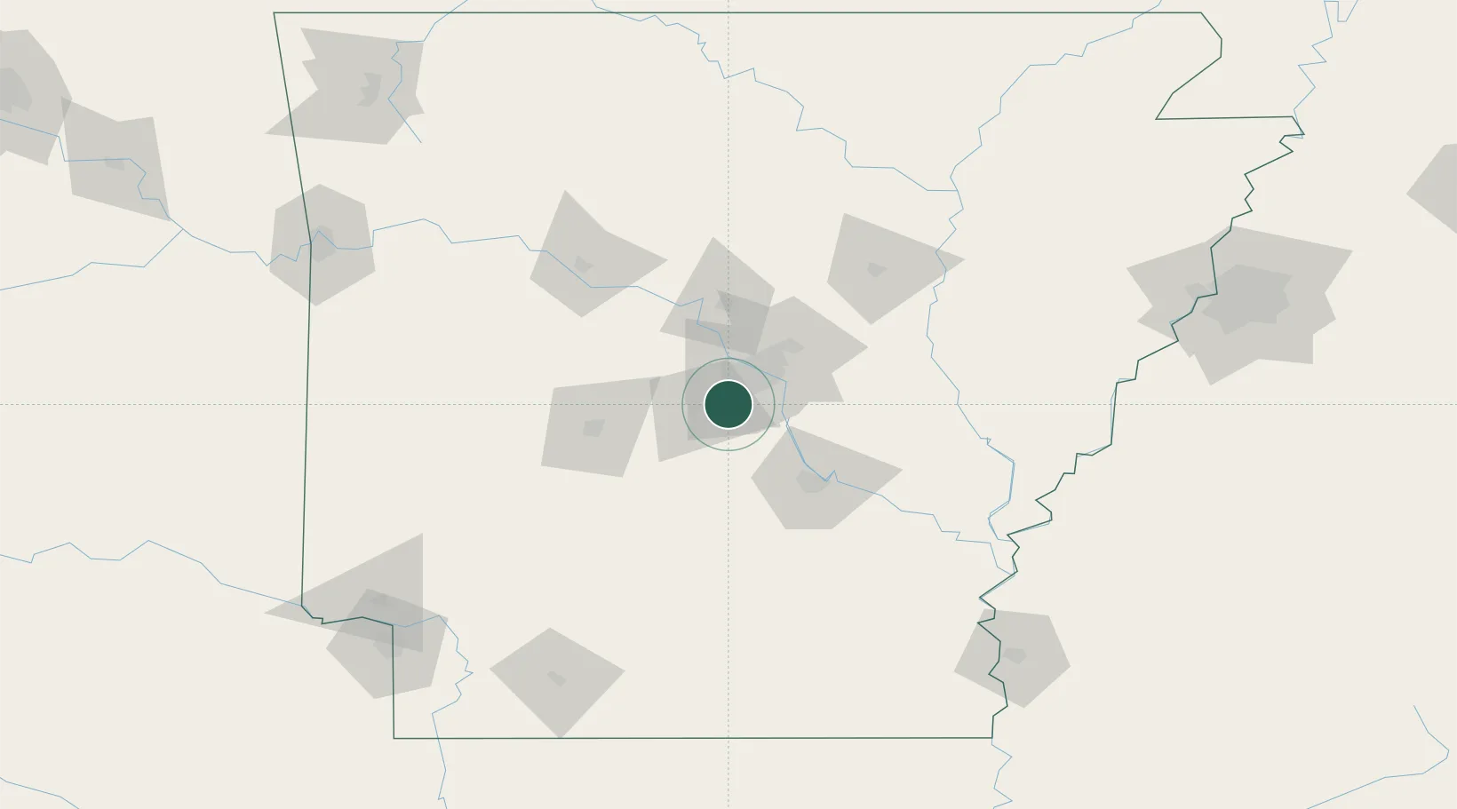
Alexander
34.6167°, -92.4333°
2,848
Population
3
Transport functions
Transport Functions
Rail
Road
Multimodal
Hub Profile
Place type
Populated place
Region
Arkansas
Population
2,848
Time zone
America/Chicago
Elevation
109 m
Location
Nearby Logistics Neighbours
Cities
- 1Mabelvale6 km
- 2Byant6 km
- 3Forest Park21 km
- 4Haskell22 km
- 5Sherwood28 km
Ports
- 1Port Of Memphis213 km
- 2Baton Rouge478 km
- 3Lake Charles495 km
- 4Madisonville515 km
- 5Orange519 km
Airports
Trade Zones
- 1FTZ No. 014 Little Rock25 km
- 2FTZ No. 287 Tunica County161 km
- 3FTZ No. 077 Memphis207 km
- 4FTZ No. 273 West Memphis213 km
- 5FTZ No. 223 Memphis219 km
DatabookThe Record of Consolidated Knowledge
United States beyond logistics?